Chest opened
+${chestReward.xp} XP
Explorer
NOUVEAU ×${chestReward.collectible.quantity}
tapez pour fermer
Chest locked

Open chests in the app

Around Us is built for your phone — chests unlock when you walk, explore and capture nearby places.

Enable Location

We need your location to show you interesting places around you

Discover nearby places

Find interesting locations and hidden gems around you

Precise directions

Get accurate directions and distances to places

Your location is never shared with other users. It's only used when you tap the location button.

Hordtberg

Log in to your account

Start exploring — it's free

Trusted by 72,889 travelers worldwide

Continue with Google
Continue with Apple
or

We will send you a code to connect

By continuing, you accept our Terms and Conditions and our Privacy Policy

Check your inbox

We've sent a pincode in your inbox. Please enter the code below.

Hordtberg
Discussion Reviews 1 Photos
800+ Popularity

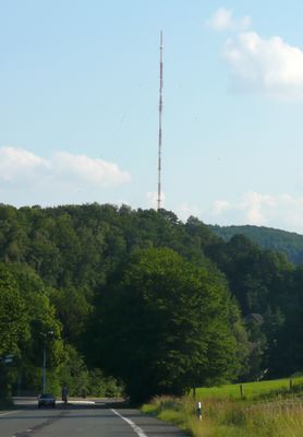
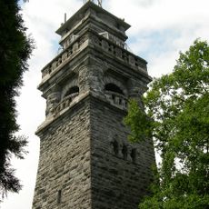
Hordtberg, Mountain summit in Langenberg, Germany

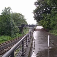
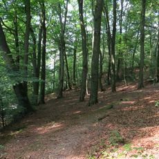
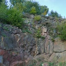
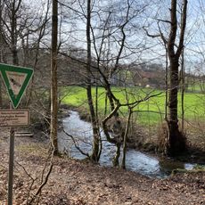
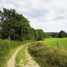
Hordtberg is a 244-meter elevation in the Langenberg area of North Rhine-Westphalia. The summit is accessible through established trails that connect the region to surrounding municipalities and communities.

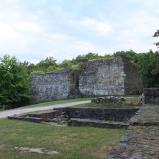
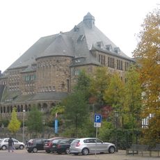
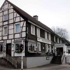
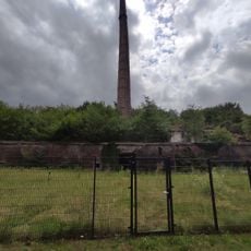
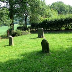
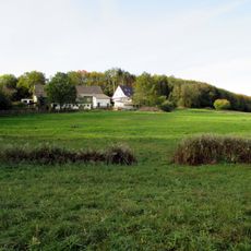
The summit has long served as a reference point for people navigating the Rhineland and for defining boundaries between territories. Its role as a local landmark has remained consistent throughout the region's development.

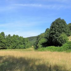
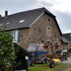
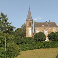
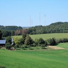
The summit shapes how locals and visitors see the landscape, serving as a natural landmark that connects the surrounding communities. From above, you can see how the villages and farmland below follow the contours of the terrain.

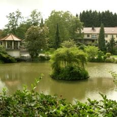
The summit is accessible via several hiking trails suitable for different fitness levels. The best time to visit is during warmer months when the paths are dry and easy to navigate.

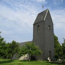
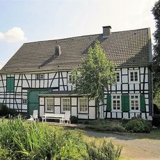
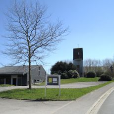
The site has a dual role as both a geographical summit and an administrative district within Langenberg, creating an unusual arrangement where a natural feature also functions as an official municipal subdivision. This overlapping classification is uncommon in the German municipal system.

The community of curious travelers

AroundUs brings together thousands of curated places, local tips, and hidden gems, enriched daily by 60,000 contributors worldwide.

Start exploring
Elevation above the sea
244 m
GPS coordinates
51.35482,7.13236
Latest update
December 14, 2025 20:01
Reviews
Share your experience

No review yet

Discussions
Start a discussion...

No discussion yet

« Hordtberg - Mountain summit in Langenberg, Germany » is provided by Around Us (aroundus.com). Images and texts are derived from Wikimedia project under a Creative Commons license. You are allowed to copy, distribute, and modify copies of this page, under the conditions set by the license, as long as this note is clearly visible.

Discover hidden gems everywhere you go!

From secret cafés to breathtaking viewpoints, skip the crowded tourist spots and find places that match your style. Our app makes it easy with voice search, smart filtering, route optimization, and insider tips from travelers worldwide. Download now for the complete mobile experience.

Around Us App Screenshot

A unique approach to discovering new places

Le Figaro

All the places worth exploring

France Info

A tailor-made excursion in just a few clicks

20 Minutes

Around Us
Travel Guide & Maps
Download

Send to your phone

QR Code
1

Open the camera app on your mobile.

2

Point at the QR code with your camera. A notification will appear.

3

Tap the notification to open the link.