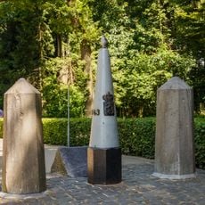
Germany–Netherlands border, International border in northwestern Europe.
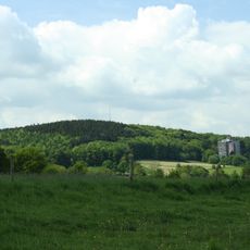
The Germany-Netherlands border runs about 570 kilometers from Dollart bay to the Vaalserberg tripoint where Germany, the Netherlands, and Belgium meet. The landscape varies greatly, with flat plains, wetlands, waterways, and polder areas creating a diverse border region.
The border as it exists today was established by the Frontier Treaty of 1960, following the Netherlands' return of German territories that had been annexed after World War II. This agreement finalized the boundary between the two nations after centuries of territorial disputes.
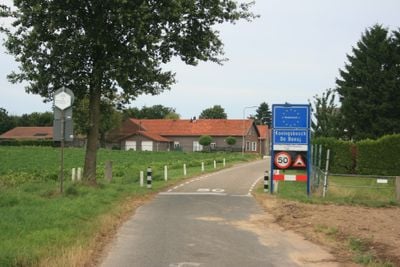
People living along the border move freely between the German regions of Lower Saxony and North Rhine-Westphalia and Dutch provinces like Groningen, Drenthe, Overijssel, Gelderland, and Limburg as part of their daily routine. Villages split by the line often feel like a single community despite the national boundary.
Around 60 road crossings and 6 railway routes connect the two countries along the border. Travel is unrestricted thanks to Schengen Area rules, so visitors can move between Germany and the Netherlands without border checkpoints.
A section of the maritime border in the Ems estuary remains contested between the two countries. Rather than settle the dispute, Germany and the Netherlands agreed to jointly manage the disputed waters.
The community of curious travelers
AroundUs brings together thousands of curated places, local tips, and hidden gems, enriched daily by 60,000 contributors worldwide.