
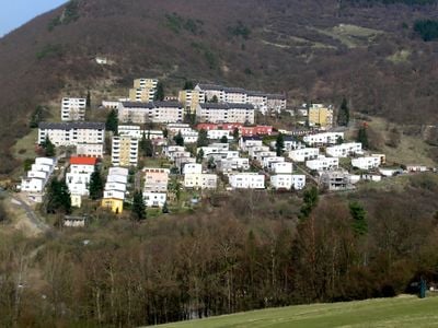
Ranselberg, municipal district of Lorch in Rheingau-Taunus-Kreis, Germany
Location: Lorch
Elevation above the sea: 151 m
GPS coordinates: 50.05410,7.82423
Latest update: March 6, 2025 15:45
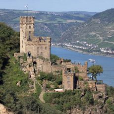
Sooneck Castle
3.9 km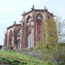
Wernerkapelle Bacharach
4.1 km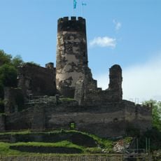
Fürstenberg Castle
3 km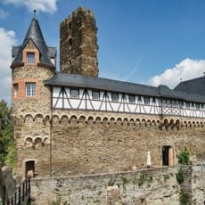
Sauerburg
3.2 km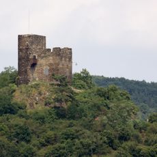
Ruine Nollig
1.9 km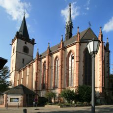
St. Martin, Lorch
1.8 km
St. Peter
4.1 km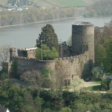
Heimburg Castle
2.6 km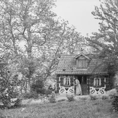
Märchenhain Niederheimbach
2.7 km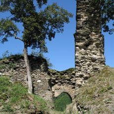
Burg Waldeck
2.5 km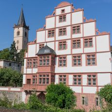
Hilchenhaus
1.9 km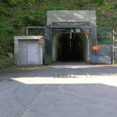
Untertageanlage Lorch-Wispertal
2.1 km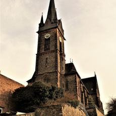
St. Bonifatius
2.8 km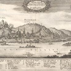
Ara Bacchi
3.7 km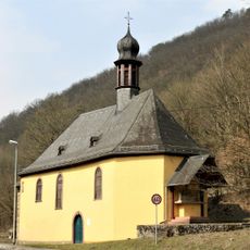
Hl. Kreuzkapelle
412 m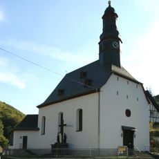
St. Anna
3.5 km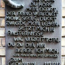
Jüdischer Friedhof
3.2 km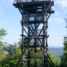
Siebenburgenblick Observation Tower
4 km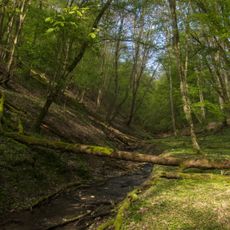
Naturschutzgebiet Schittkamm im Wispertal bei Lorch
2.3 km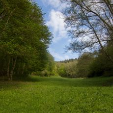
Naturschutzgebiet Hexwiese und Hohekadrich bei Lorch
3.2 km
Engweger Kopf und Scheibigkopf bei Lorch
2.8 km
Naturschutzgebiet Unteres Ranselbachtal bei Lorch
3.6 km
Lorcher Werth
2.4 km
Turm Weingut Troitzsch-Pusinelli
2.5 km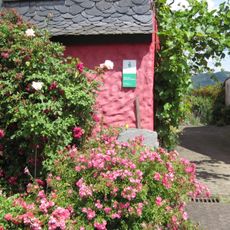
Rosengarten auf der Rheinhöhe
3.8 km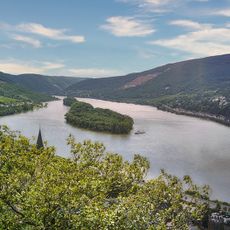
Lorcher Werth
2.5 km
Engweger Kopf und Scheibigkopf bei Lorch
2.8 km
Zwei Turmruinen und Mauerreste
2.8 kmReviews
Visited this place? Tap the stars to rate it and share your experience / photos with the community! Try now! You can cancel it anytime.
Discover hidden gems everywhere you go!
From secret cafés to breathtaking viewpoints, skip the crowded tourist spots and find places that match your style. Our app makes it easy with voice search, smart filtering, route optimization, and insider tips from travelers worldwide. Download now for the complete mobile experience.

A unique approach to discovering new places❞
— Le Figaro
All the places worth exploring❞
— France Info
A tailor-made excursion in just a few clicks❞
— 20 Minutes