
Knöpflesbrunnen, mountain in the Southern Black Forest, Germany
Location: Freiburg Government Region
GPS coordinates: 47.82665,7.91319
Latest update: March 10, 2025 02:23

Belchen
6 km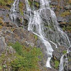
Todtnau Waterfall
2.7 km
Black Forest Biosphere Reserve
5.3 km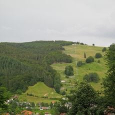
Hasenhorn
3.5 km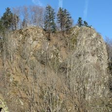
Burg Scharfenstein (Black Forest)
6.3 km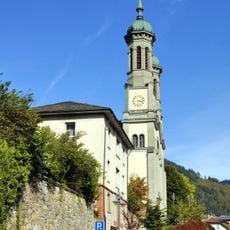
Parish Church of St. John the Baptist in Todtnau
2.5 km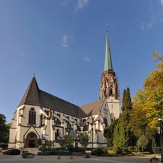
Maria-Himmelfahrt-Kirche
4.7 km
Belchen
4.8 km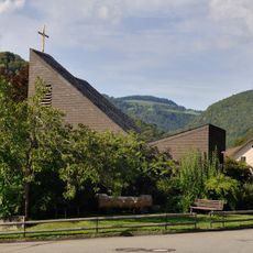
Maria Königin
2.2 km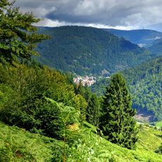
Utzenfluh
2.1 km
St. Jakobus der Ältere (Todtnauberg)
3.6 km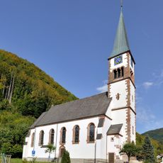
St. Wendelin
3.2 km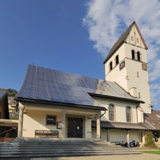
Bergkirche Schönau
4.4 km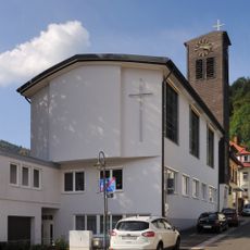
König-Christus-Kirche (Todtnau)
2.4 km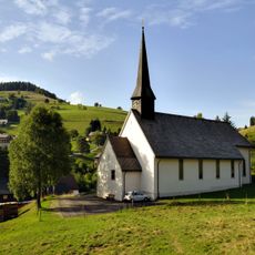
St. Cornelius
3.5 km
Langenbach-Trubelsbach
4.8 km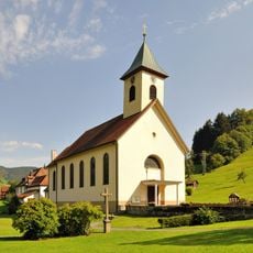
Pfarrkirche Allerheiligen (Wieden)
2.8 km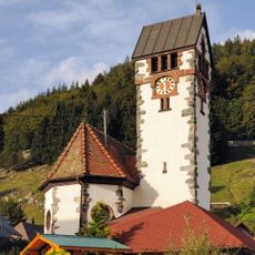
St. Anna
2.1 km
Evangelical Church
3.5 km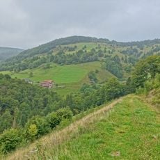
Wiedener Weidberge
2.5 km
St. Wendelin
5.2 km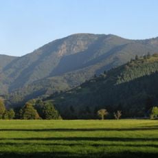
Belchen
3.7 km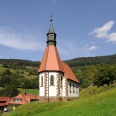
Herz-Jesu-Kirche
4.6 km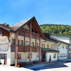
Jägerstüble
4.8 km
Gasthaus Hasenhorn
2.9 km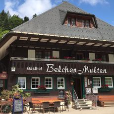
Multen
4.5 km
Gletscherkessel Präg und Weidfelder im Oberen Wiesental
6 km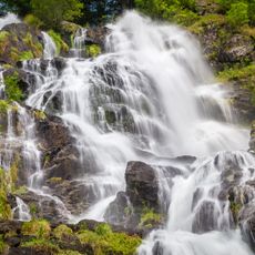
Wasserfall (Todtnauer/Todtnauberger Wasserfall)
2.7 kmReviews
Visited this place? Tap the stars to rate it and share your experience / photos with the community! Try now! You can cancel it anytime.
Discover hidden gems everywhere you go!
From secret cafés to breathtaking viewpoints, skip the crowded tourist spots and find places that match your style. Our app makes it easy with voice search, smart filtering, route optimization, and insider tips from travelers worldwide. Download now for the complete mobile experience.

A unique approach to discovering new places❞
— Le Figaro
All the places worth exploring❞
— France Info
A tailor-made excursion in just a few clicks❞
— 20 Minutes