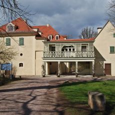
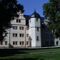
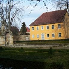
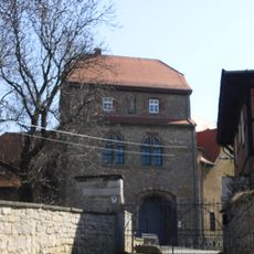
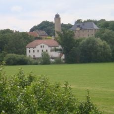
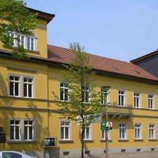
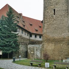
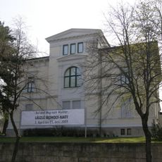
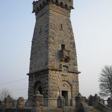
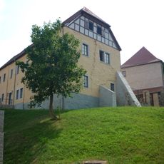
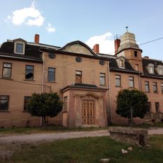
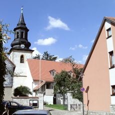
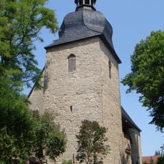
Ilmtal-Weinstraße, rural municipality in Germany
Location: Weimarer Land
Inception: December 31, 2013
Elevation above the sea: 250 m
Shares border with: Buttstädt, Kromsdorf, Wohlsborn, Sachsenhausen, Leutenthal, Rohrbach, Weimarer Land, Buttelstedt, Rudersdorf, Bad Sulza, Apolda, Wiegendorf, Ködderitzsch
Website: https://ilmtal-weinstrasse.de
GPS coordinates: 51.06667,11.45000
Latest update: March 4, 2025 03:21
Tiefurt House
10.1 km
Schloss Kromsdorf
9 km
Wielandgut Oßmannstedt
6.1 km
Ordensburg Liebstedt
3.6 km
Lutherkirche
6.6 km
Burg Denstedt
8.7 km
Glocken-StadtMuseum (Apolda, Germany)
6.6 km
Prager house
6.4 km
Wasserburg Niederroßla
5.1 km
Kunsthaus Apolda Avantgarde
6.6 km
Amor
9.9 km
Bismarck Tower
5.2 km
Martinskirche
6.4 km
Schloss
6.7 km
Organo della Chiesa di Lutero
6.6 km
Schloss Rohrbach
3.6 km
Church St. Christophorus
11.1 km
St. Bonifatius
7 km
Vergilgrotte Tiefurt
9.8 km
Markt
6.6 km
Rathaus
6.6 km
Herderdenkmal
10 km
Tempel
9.9 km
Mozart-Denkmal Tiefurt
10.1 km
Wieland-Ecke im Schlosspark Tiefurt
9.9 km
Dorfkirche Oßmannstedt
5.5 km
Protestant Church (Niederroßla)
4.2 km
Teahouse in the park of Schloss Tiefurt
10 kmReviews
Visited this place? Tap the stars to rate it and share your experience / photos with the community! Try now! You can cancel it anytime.
Discover hidden gems everywhere you go!
From secret cafés to breathtaking viewpoints, skip the crowded tourist spots and find places that match your style. Our app makes it easy with voice search, smart filtering, route optimization, and insider tips from travelers worldwide. Download now for the complete mobile experience.
A unique approach to discovering new places❞
— Le Figaro
All the places worth exploring❞
— France Info
A tailor-made excursion in just a few clicks❞
— 20 Minutes