
Kuhbier, human settlement in Germany
Location: Groß Pankow (Prignitz)
Elevation above the sea: 54 m
GPS coordinates: 53.14972,12.08694
Latest update: March 3, 2025 06:33
Königsgrab von Seddin
7.7 km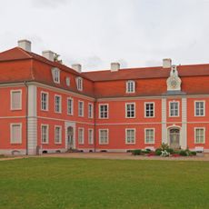
Schloss Wolfshagen
5.2 km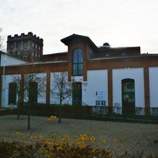
Museumsfabrik Pritzwalk
6.2 km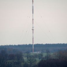
Sender Pritzwalk
7.9 km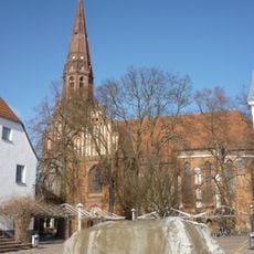
St. Nikolai Pritzwalk
6 km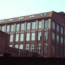
Tuchfabrik Draeger
6.1 km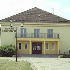
Kulturhaus Pritzwalk
5.7 km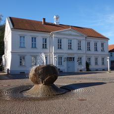
Townhall Pritzwalk
6 km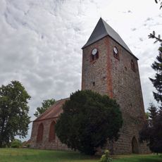
Village church Preddöhl
9.4 km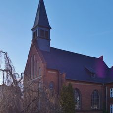
Saint Anne church
6 km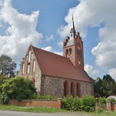
Village church Buchholz (Pritzwalk)
7.2 km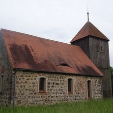
Dorfkirche Groß Pankow
4 km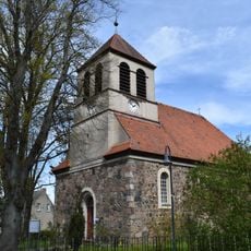
Dorfkirche Steffenshagen (Pritzwalk)
5.7 km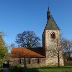
Church in Beveringen
8.8 km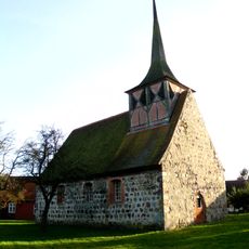
Dorfkirche Klein Gottschow
8.1 km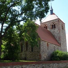
Dorfkirche Kuhsdorf
3.8 km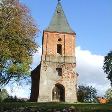
Dorfkirche Mesendorf
6.7 km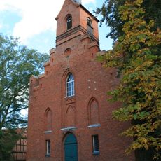
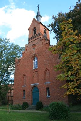
Dorfkirche
394 m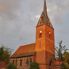
Dorfkirche Groß Woltersdorf
8.6 km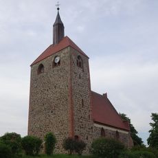
Dorfkirche Giesensdorf
4.2 km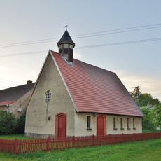
Church in Tangendorf
8.8 km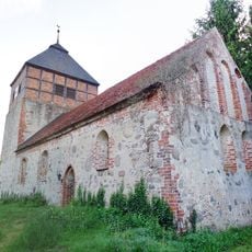
Church in Tacken
7 km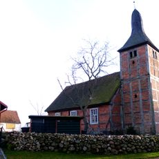
Dorfkirche Guhlsdorf
7.2 km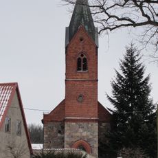
Church in Lockstädt
6.8 km
Dorfkirche Kreuzburg
8.4 km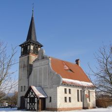
Dorfkirche Helle
4.1 km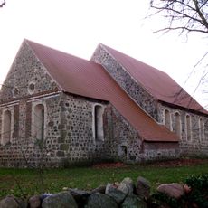
Dorfkirche Seddin
6.3 km
Freilichtbühne auf dem Trappenberg
6.7 kmVisited this place? Tap the stars to rate it and share your experience / photos with the community! Try now! You can cancel it anytime.
Discover hidden gems everywhere you go!
From secret cafés to breathtaking viewpoints, skip the crowded tourist spots and find places that match your style. Our app makes it easy with voice search, smart filtering, route optimization, and insider tips from travelers worldwide. Download now for the complete mobile experience.

A unique approach to discovering new places❞
— Le Figaro
All the places worth exploring❞
— France Info
A tailor-made excursion in just a few clicks❞
— 20 Minutes