Fischbachsee, Artificial lake in Ellwangen, Germany.
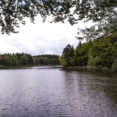
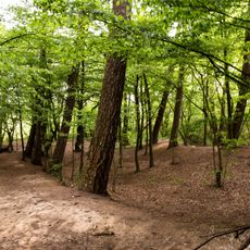
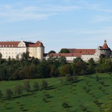
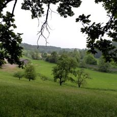
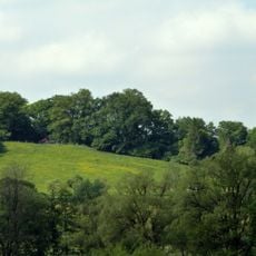
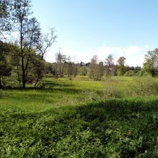
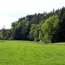
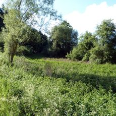
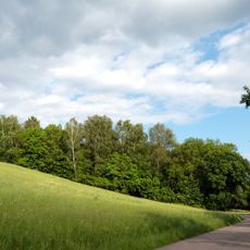
Fischbachsee is an artificial reservoir near Ellwangen in eastern Baden-Württemberg, bordered by thick forests on all sides. The water body winds through the valley, connecting the areas around Stimpfach and Ellenberg into one continuous landscape.
The water was created in 1971 when the Wasserverband Obere Jagst dammed the Fischbach stream to control flooding in the region. This change turned a river valley into a man-made lake that has shaped the landscape ever since.
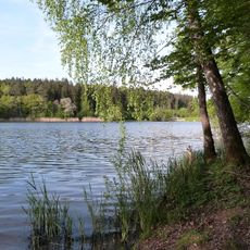
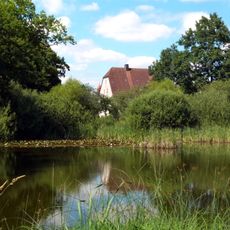
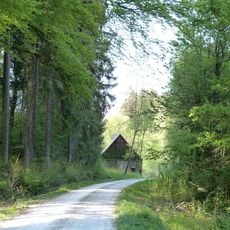
The lake serves as a gathering place for local communities, where people enjoy walks and outdoor time throughout the year. The forested surroundings create a setting that draws visitors from nearby towns seeking a natural escape.
The lake is accessible from three parking areas, with the main entrance near the K 3228 road that runs through the valley. Most visitors arrive by car along this route and find convenient access points along the shoreline.
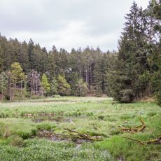
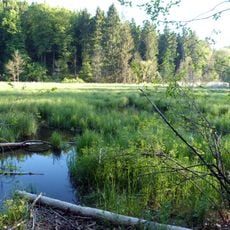
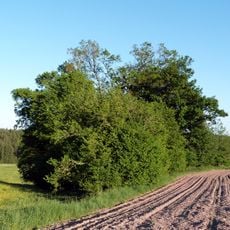
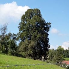
A small tree-covered island sits in the upper section of the water, while alder trees grow near the dam, creating their own ecosystem. These features make the site more than a simple water storage and offer interesting things to observe during a visit.
GPS coordinates: 49.00681,10.12222
Latest update: December 14, 2025 18:20
Schloss ob Ellwangen
4.9 km
Schönenbergkirche Ellwangen
4.2 km
Alamannenmuseum Ellwangen
4.8 km
Schloss Rechenberg
4.7 km
Heilig-Geist-Kirche (Ellwangen)
4 km
Virngrund und Ellwanger Berge
3.1 km
Speicherbecken Orrot
2.6 km
Weiher mit Baumbestand u. Feuchtwiese
1.2 km
Rinderburg
3.3 km
Schloßberg Ellwangen und Schönenberg
4.8 km
Keuerstadt und Umgebung
3.8 km
Rotenbachtal - Sekretärweiher
4.9 km
Pflanzenstandort bei Dietrichsweiler
1.7 km
Jagsttal zwischen Ellwangen-Rindelbach u. d. Kreisgrenze nördlich v. Jagstzell mit angrenzenden Gebieten
1.5 km
Feuchtgebiet bei der Dankoltsweiler Sägmühle
1.2 km
Hohlweg beim Kellerhof
4.7 km
Jagstaltwasser zwischen Kalkhöfe u.Schweighausen
1 km
Rotbachtal mit Seitentälern und angrenzenden Gebieten
4.6 km
Quellnische mit Gehölz südöstl.Dankoltsweiler
1.3 km
Altwasser der Jagst zw.Kalkhöfe u.Schweighausen
644 m
1 Eiche im Garten Walcher
5 km
1 Linde bei Dietrichsweiler
1.3 km
Hörbühler Eiche
4.7 km
1 Eiche nahe der Kreisgrenze
4.5 km
Feuchtgebiet bei der Marienkapelle
2.3 km
1 Linde oberhalb der Rosenberger Str.
3.1 km
Buchbrunnenweiher
3.8 km
Eichenwald bei Rindelbach
1.9 kmVisited this place? Tap the stars to rate it and share your experience / photos with the community! Try now! You can cancel it anytime.
Discover hidden gems everywhere you go!
From secret cafés to breathtaking viewpoints, skip the crowded tourist spots and find places that match your style. Our app makes it easy with voice search, smart filtering, route optimization, and insider tips from travelers worldwide. Download now for the complete mobile experience.
A unique approach to discovering new places❞
— Le Figaro
All the places worth exploring❞
— France Info
A tailor-made excursion in just a few clicks❞
— 20 Minutes