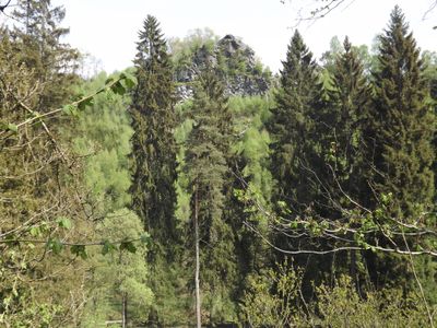
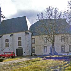
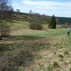
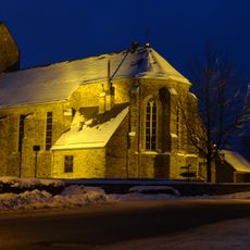
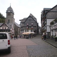
Oberes Rurtal mit den Felsbildungen der Ehrensteinley, Nature reserve in Monschau, Germany.
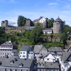
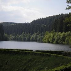
The Oberes Rurtal with Ehrensteinley is a protected natural area in the Rur valley near Monschau, spanning several hundred hectares shaped by forests, river flow, and striking rock walls. The terrain features multiple hiking trails and observation points where visitors can view the rock formations and the valley landscape.
The area was placed under protection in 1997 to preserve the natural habitats and ecological processes of the region. This designation was part of broader efforts to secure cross-border natural spaces between Germany and Belgium.
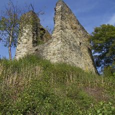
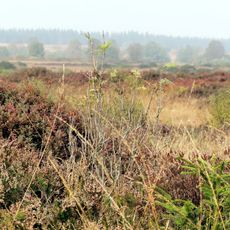
The striking Ehrensteinley rock formation shapes the visual character of the Rur valley and has been part of local awareness for generations. Visitors can see how these cliffs define the landscape and why the area holds meaning for those who know it well.
Multiple marked hiking trails run through the reserve and are accessible from various parking areas, with different difficulty levels and distances to suit various visitors. The best time to visit is spring and autumn when the trails are dry and views of the rock formations are particularly clear.
The Ehrensteinley rock walls display rare rock formations and house specialized plant and animal species found nowhere else in the region. In particular, kingfishers use the cliffs for nesting, making this location an important breeding ground.
The community of curious travelers
AroundUs brings together thousands of curated places, local tips, and hidden gems, enriched daily by 60,000 contributors worldwide.