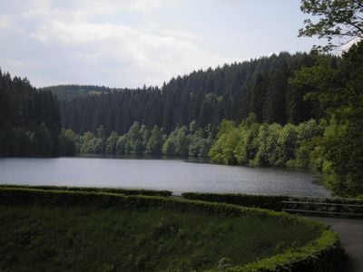
Perlenbachtalsperre, reservoir in Germany
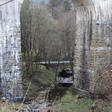
The Perlenbachtalsperre is a stone dam reservoir in the High Fens area near Monschau, fed by the Perlenbach and a few smaller streams. The structure holds back water used for drinking water supply and also powers a small hydroelectric plant.
The dam was built in the 1950s and completed in 1956 to supply the region with drinking water. Decades later, a hydroelectric plant and an expanded water treatment facility were added to the site.
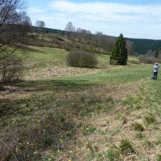
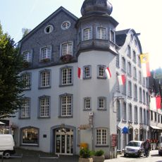
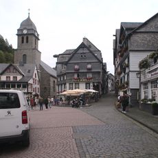
The name comes from the Perlenbach, the main stream feeding the water. On fine days, walkers and families follow the paths around the shore or sit quietly by the water.
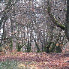
The reservoir is easy to reach by car from Monschau, and marked walking paths lead around the water. Sturdy footwear is a good idea, as the trails can be wet depending on the weather.
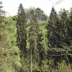
Most of the catchment area that feeds the reservoir lies across the border in Belgium, so water collected there travels into Germany before reaching the tap. A fish passage built into the dam allows fish to move upstream past the barrier without interruption.
The community of curious travelers
AroundUs brings together thousands of curated places, local tips, and hidden gems, enriched daily by 60,000 contributors worldwide.