
Herscheid Typ B, protected area in Germany
Location: Herscheid
Inception: 1998
GPS coordinates: 51.15011,7.71882
Latest update: May 28, 2025 10:58
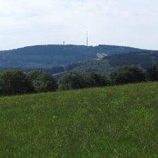
Nordhelle
2.9 km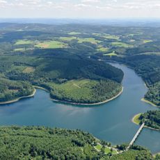
Verse Reservoir
5.5 km
Homert
8.2 km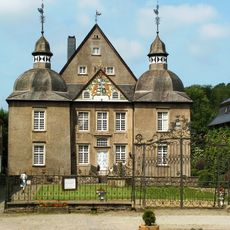
Schloss Neuenhof
8.3 km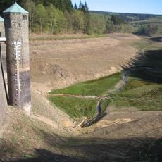
Fürwiggetalsperre
2.3 km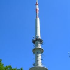
Sender Nordhelle
2.7 km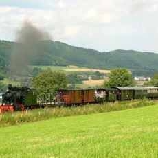
Märkische Museum Railway
7.6 km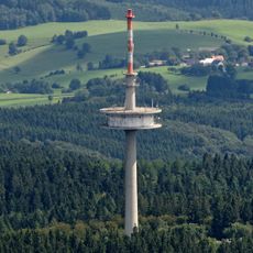
Fernmeldeturm Ebbegebirge
3.8 km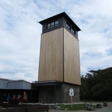
Robert-Kolb-Tower
2.6 km
Stilleking
7.1 km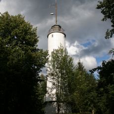
Homert-Tower
6 km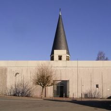
St. Josef (Kierspe)
8.6 km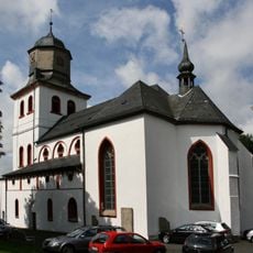
Jesus-Christus-Kirche (Meinerzhagen)
7.4 km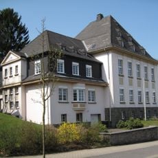
Amtsgericht Meinerzhagen
7.2 km
Roscheid
8.3 km
Schleiper Hammer
6.5 km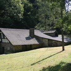
Ahe-Hammer
8.3 km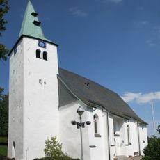
Evangelische Apostelkirche Herscheid
3.7 km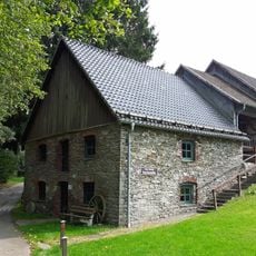
Bone mill
7.2 km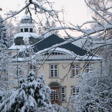
Platehof
7.8 km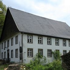
Reidemeisterhaus Voswinkel
8.1 km
Spieker
3.8 km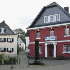
Krugmann-Häuser
7.2 km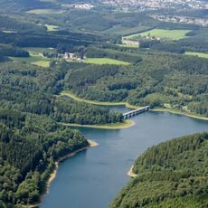
Spielwigge
5.6 km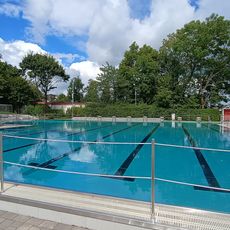
Freibad Herscheid
3.3 km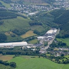
Im Wiebruch
4.8 km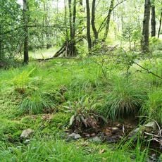
Fernhagener Bach und Jubachtal
7.1 km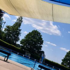
Freibad Meinerzhagen
6.5 kmReviews
Visited this place? Tap the stars to rate it and share your experience / photos with the community! Try now! You can cancel it anytime.
Discover hidden gems everywhere you go!
From secret cafés to breathtaking viewpoints, skip the crowded tourist spots and find places that match your style. Our app makes it easy with voice search, smart filtering, route optimization, and insider tips from travelers worldwide. Download now for the complete mobile experience.

A unique approach to discovering new places❞
— Le Figaro
All the places worth exploring❞
— France Info
A tailor-made excursion in just a few clicks❞
— 20 Minutes