Enable Location

We need your location to show you interesting places around you

Discover nearby places

Find interesting locations and hidden gems around you

Precise directions

Get accurate directions and distances to places

Your location is never shared with other users. It's only used when you tap the location button.

Fürwiggetalsperre

Log in to your account

Start exploring — it's free

Trusted by 61,992 travelers worldwide

Continue with Google
Continue with Apple
or

We will send you a code to connect

By continuing, you accept our Terms and Conditions and our Privacy Policy

Check your inbox

We've sent a pincode in your inbox. Please enter the code below.

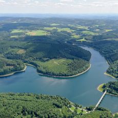
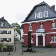
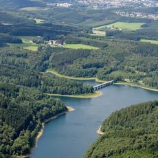
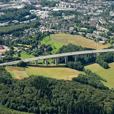
Fürwiggetalsperre, Reservoir in Märkischer Kreis, Germany

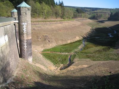
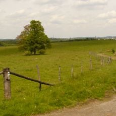
Fürwiggetalsperre is a reservoir with a stone dam in Meinerzhagen that rises 29 meters high and spans 166 meters at its crest. The structure holds water in a hilly region of North Rhine-Westphalia and shapes the surrounding landscape.

Construction took place between 1902 and 1904 following Professor Otto Intze's design and represents a notable engineering achievement of that era. It began supplying drinking water to Meinerzhagen in 1964 and continues this role today.

A 1907 monument on the dam honors Karl Berg, an industrial pioneer whose work shaped water supply across the region. The site shows how deeply water management became woven into this area's story.

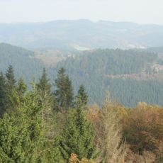
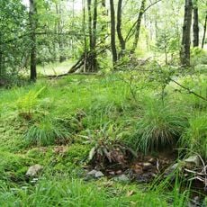
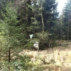
A circular walking path of about 4 kilometers circles the entire reservoir, with benches and rest spots located along the route. The paths are easy to walk and offer nice water views and forest surroundings throughout.

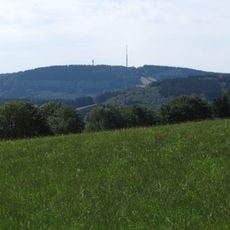
Situated at 447 meters elevation, this reservoir ranks among the highest in the Sauerland region by altitude. Visitors often overlook that they are standing at one of the most important water supply structures for an entire area.

The community of curious travelers

AroundUs brings together thousands of curated places, local tips, and hidden gems, enriched daily by 60,000 contributors worldwide.

Start exploring
Location
Elevation above the sea
447 m
GPS coordinates
51.14940,7.68611
Latest update
December 10, 2025 20:06
« Fürwiggetalsperre - Reservoir in Märkischer Kreis, Germany » is provided by Around Us (aroundus.com). Images and texts are derived from Wikimedia project under a Creative Commons license. You are allowed to copy, distribute, and modify copies of this page, under the conditions set by the license, as long as this note is clearly visible.

Discover hidden gems everywhere you go!

From secret cafés to breathtaking viewpoints, skip the crowded tourist spots and find places that match your style. Our app makes it easy with voice search, smart filtering, route optimization, and insider tips from travelers worldwide. Download now for the complete mobile experience.

Around Us App Screenshot

A unique approach to discovering new places

Le Figaro

All the places worth exploring

France Info

A tailor-made excursion in just a few clicks

20 Minutes

Around Us
Travel Guide & Maps
Download

Send to your phone

QR Code
1

Open the camera app on your mobile.

2

Point at the QR code with your camera. A notification will appear.

3

Tap the notification to open the link.