Homert, Mountain summit in Bergisches Land, Germany
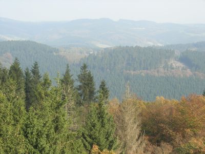
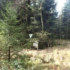
Homert is a mountain summit rising to 519 meters (1,703 feet) within the forested Bergisches Land region of North Rhine-Westphalia. The terrain consists of wooded slopes connected by marked walking paths that cross the mountain in various directions.
The mountain formed during the Devonian period hundreds of millions of years ago, creating the distinctive rock structures that define the entire region. This ancient geological history remains visible in the composition of the hillsides today.
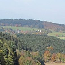
The mountain serves as a gathering point for hikers who use well-maintained forest paths that connect nearby villages. These routes shape how local people move through their landscape and interact with the surrounding communities.
The trails are accessible from several parking areas near Landesstraße 519 and surrounding roads. Visitors should plan to arrive early on weekends to secure parking, as the popular routes can become crowded during peak visiting times.
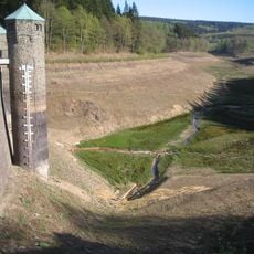
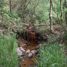
The northern slopes contain the sources of two streams, Seilbach and Romecke, which eventually flow into the larger Linnepe river system. These water sources mark the beginning of a network that drains the wider region.
The community of curious travelers
AroundUs brings together thousands of curated places, local tips, and hidden gems, enriched daily by 60,000 contributors worldwide.