
Möhnetal, protected landscape area in Germany
Location: Möhnetal
Inception: 2006
GPS coordinates: 51.48694,8.00429
Latest update: July 3, 2025 07:00
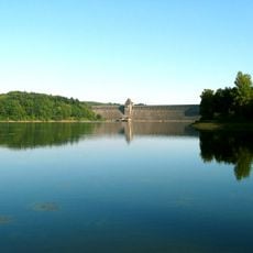
Möhne Reservoir
4.3 km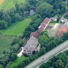
Haus Füchten
5.4 km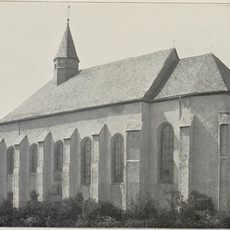
Kloster Himmelpforten
642 m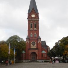
Pfarrkirche St. Johannes Baptist
4.8 km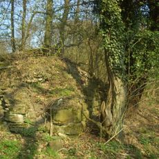
Fürstenberg Castle (Höingen)
4.6 km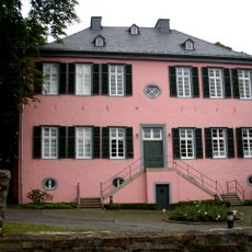
Fresekenhof
4.9 km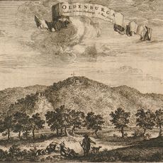
Burg Oldenburg
4.3 km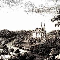
Burg Waterlappe
3.8 km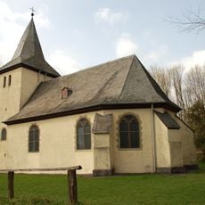
Kapelle auf dem Fürstenberg
4.3 km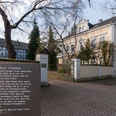
Burghaus Gransau
5 km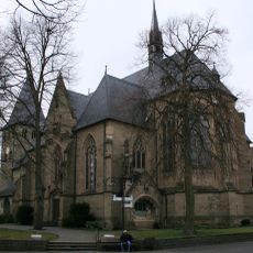
St. Lambertus, Ense-Bremen
3.8 km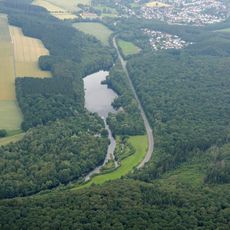
Enser See
1.2 km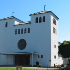
St. Michael
4.4 km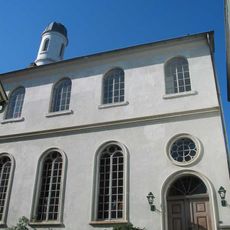
Neheimer Synagoge
4.9 km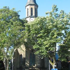
Christuskirche
4.9 km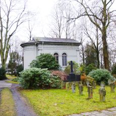
Theodorus-Kapelle
4 km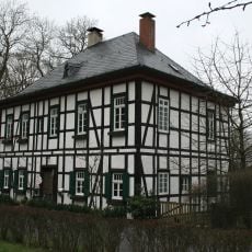
Fürstenberg
3.9 km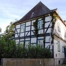
Drostenhof
4.9 km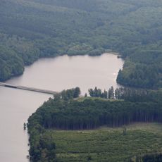
Hevearm und Hevesee
4.8 km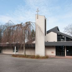
St. Franziskus
4.9 km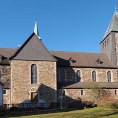
St. Bernhard
991 m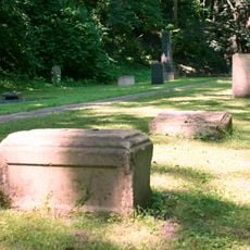
Jüdischer Friedhof Neheim
4.8 km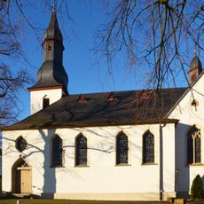
St. Antonius
3.1 km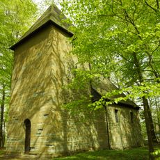
St. Urbanus
3.3 km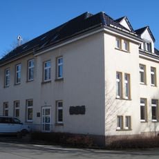
Heimatmuseum Niederense
1.1 km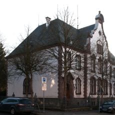
Altes Amtsgericht Neheim
4.8 km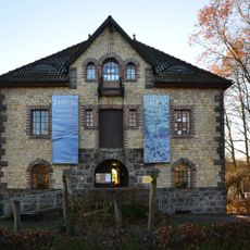
Landschafts-Informationszentrum
3.2 km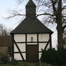
Saint Roch in Oberense
2.5 kmReviews
Visited this place? Tap the stars to rate it and share your experience / photos with the community! Try now! You can cancel it anytime.
Discover hidden gems everywhere you go!
From secret cafés to breathtaking viewpoints, skip the crowded tourist spots and find places that match your style. Our app makes it easy with voice search, smart filtering, route optimization, and insider tips from travelers worldwide. Download now for the complete mobile experience.

A unique approach to discovering new places❞
— Le Figaro
All the places worth exploring❞
— France Info
A tailor-made excursion in just a few clicks❞
— 20 Minutes