
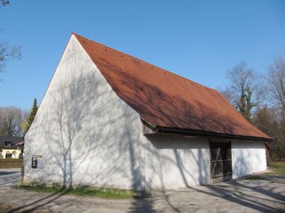
Zehentstadel, eingeschossig mit Satteldach, wohl 18. Jahrhundert; dendrochronologisch auf 1687 datiert; ehemals zum Schloss Blutenburg gehörig
Location: Munich
Address: Zehentstadelweg 6
GPS coordinates: 48.16567,11.45810
Latest update: March 9, 2025 14:26
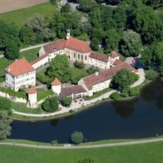
Blutenburg Castle
318 m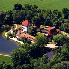
International Youth Library
313 m
St. Wolfgang
1 km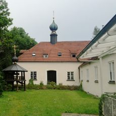
Kloster des Heiligen Hiob von Potschajew
398 m
Obermenzing cemetery
776 m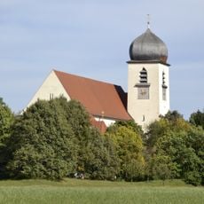
Leiden Christi
375 m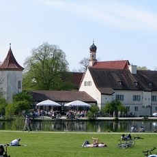
Menzing
303 m
Gasthof Alter Wirt
348 m
St. Georg-Kirche
340 m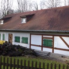
Carlhäusl
94 m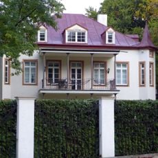
Grandlstraße 68
1 km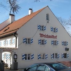
Weichandhof
182 m
Wohnhaus Maurer
659 m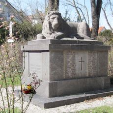
Kriegerdenkmal Obermenzing
354 m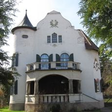
Villa
389 m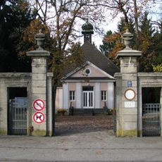
Friedhofstor Obermenzing
724 m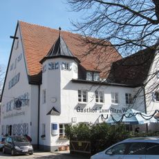
Alter Wirt
349 m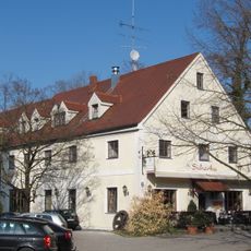
Ehemalige Mühle
64 m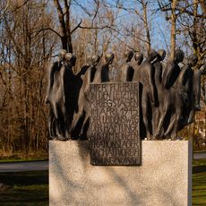
Todesmarschmahnmal
216 m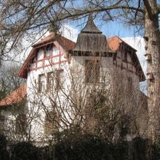
Villa
1 km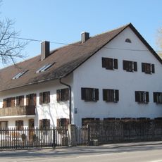
Bauernhaus
974 m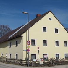
Bauernhaus
221 m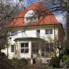
Einfamilienhaus
1 km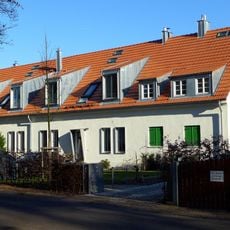
Schirmerweg 42
966 m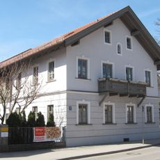
Giebelständiges Bauernhaus
339 m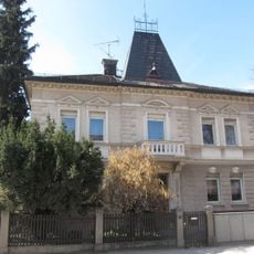
Villenartiges Wohnhaus
252 m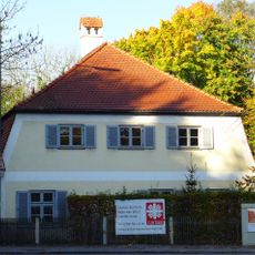
Ehemaliges Benefiziatenhaus
148 m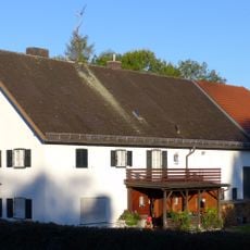
Bauernhof
432 mVisited this place? Tap the stars to rate it and share your experience / photos with the community! Try now! You can cancel it anytime.
Discover hidden gems everywhere you go!
From secret cafés to breathtaking viewpoints, skip the crowded tourist spots and find places that match your style. Our app makes it easy with voice search, smart filtering, route optimization, and insider tips from travelers worldwide. Download now for the complete mobile experience.

A unique approach to discovering new places❞
— Le Figaro
All the places worth exploring❞
— France Info
A tailor-made excursion in just a few clicks❞
— 20 Minutes