
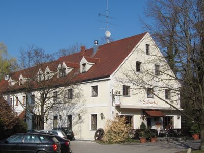
Ehemalige Mühle, zweigeschossiger Satteldachbau mit Putzgliederung, im Kern 19. Jahrhundert, 1920/21 umgebaut
Location: Munich
Address: Zehentstadelweg 12
GPS coordinates: 48.16613,11.45862
Latest update: March 7, 2025 07:25
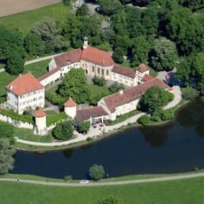
Blutenburg Castle
380 m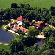
International Youth Library
375 m
St. Wolfgang
1.1 km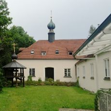
Kloster des Heiligen Hiob von Potschajew
440 m
Obermenzing cemetery
819 m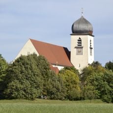
Leiden Christi
376 m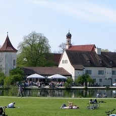
Menzing
364 m
Gasthof Alter Wirt
299 m
St. Georg-Kirche
286 m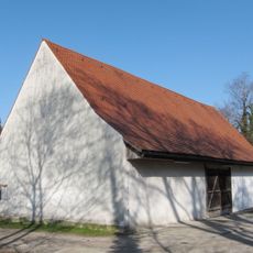
Zehentstadel
64 m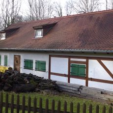
Carlhäusl
88 m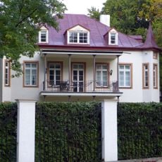
Grandlstraße 68
1.1 km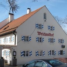
Weichandhof
136 m
Wohnhaus Maurer
706 m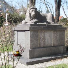
Kriegerdenkmal Obermenzing
312 m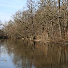
Würmniederung mit Erweiterungen bis zur Stadtgrenze
1 km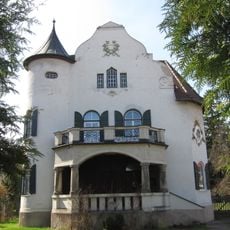
Villa
354 m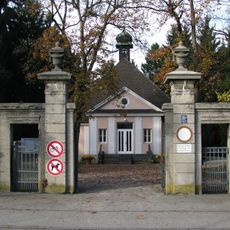
Friedhofstor Obermenzing
772 m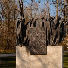
Todesmarschmahnmal
271 m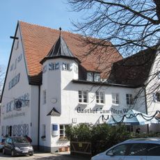
Alter Wirt
299 m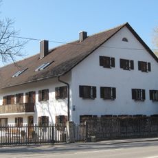
Bauernhaus
1 km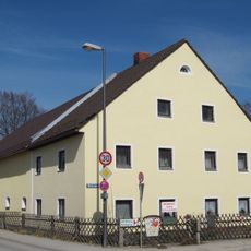
Bauernhaus
185 m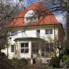
Einfamilienhaus
1.1 km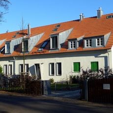
Schirmerweg 42
1 km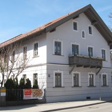
Giebelständiges Bauernhaus
300 m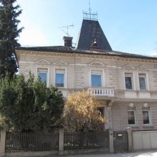
Villenartiges Wohnhaus
222 m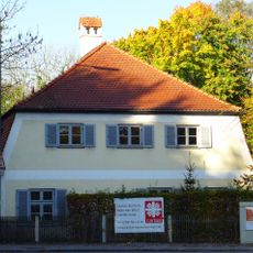
Ehemaliges Benefiziatenhaus
209 m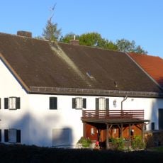
Bauernhof
373 mVisited this place? Tap the stars to rate it and share your experience / photos with the community! Try now! You can cancel it anytime.
Discover hidden gems everywhere you go!
From secret cafés to breathtaking viewpoints, skip the crowded tourist spots and find places that match your style. Our app makes it easy with voice search, smart filtering, route optimization, and insider tips from travelers worldwide. Download now for the complete mobile experience.

A unique approach to discovering new places❞
— Le Figaro
All the places worth exploring❞
— France Info
A tailor-made excursion in just a few clicks❞
— 20 Minutes