
Mühle, mühlgebäude, mit Halbwalmdach, Ende 18. Jahrhundert
Location: Atting
Address: Wallmühle 1
GPS coordinates: 48.91058,12.50798
Latest update: March 11, 2025 16:30
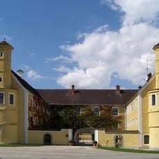
Schloss Puchhof
4.2 km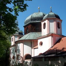
Frauenbrünnlstraße 117, Straubing-Frauenbründl
4.5 km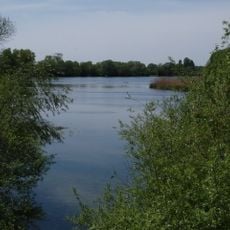
Öberauer Donauschleife
2.4 km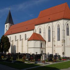
Wallfahrtskirche Mariä Himmelfahrt (Sossau)
4 km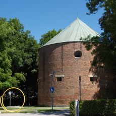
Pulverturm
5.1 km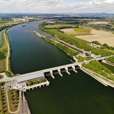
Staustufe Straubing
3.8 km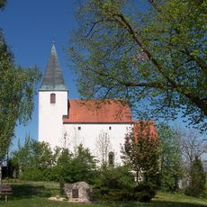
St. Johannes der Täufer
2.5 km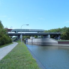
Kagerser Bridge
3.8 km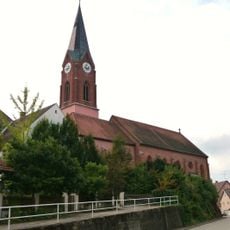
Mariä Himmelfahrt
2.3 km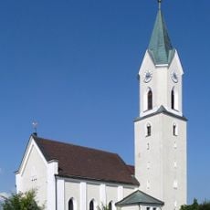
St. Lukas
4.6 km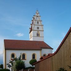
St. Bartholomäus
1.3 km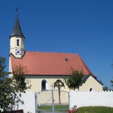
Katholische Kirche Johannes
4.5 km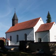
St. Georg
2.4 km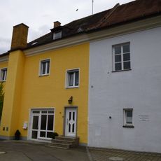
Wohnhaus, ehemals Bestandteil der Propstei des Kloster Windberg
4 km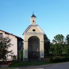
Wegkapelle
2.8 km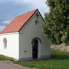
Flurkapelle
2 km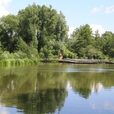
Polder Straubing
3.2 km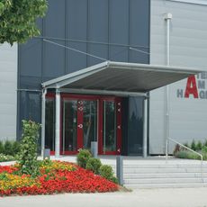
Theater am Hagen
4.9 km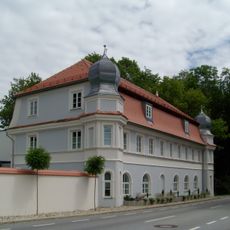
Regensburgerstraße 106, Straubing-Frauenbründl
4.5 km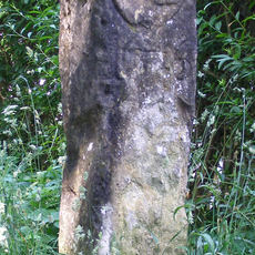
Stadtgrenzstein Frauenbrünnlstraße 99a
4.6 km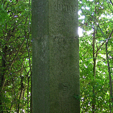
Stadtgrenzstein Frauenbrünnlstraße 111a (Straubing)
4.7 km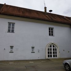
Pfarrhof
4 km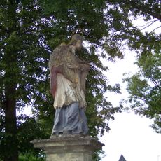
Figur Johann Nepomuk
3.9 km
Anstalt für geistig Behinderte
4.8 km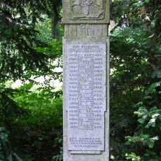
Gedenkstein für die Gefallenen der Realschule Straubing
4.7 km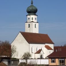
Filialkirche
3.7 km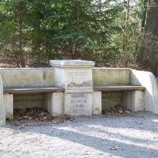
Parkbank, sogenannte Bürgerbank
4.5 km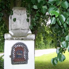
Bildstock
2.4 kmReviews
Visited this place? Tap the stars to rate it and share your experience / photos with the community! Try now! You can cancel it anytime.
Discover hidden gems everywhere you go!
From secret cafés to breathtaking viewpoints, skip the crowded tourist spots and find places that match your style. Our app makes it easy with voice search, smart filtering, route optimization, and insider tips from travelers worldwide. Download now for the complete mobile experience.

A unique approach to discovering new places❞
— Le Figaro
All the places worth exploring❞
— France Info
A tailor-made excursion in just a few clicks❞
— 20 Minutes