
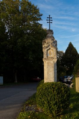
Martersäule, kalktuff, wohl 16. Jahrhundert
Location: Feldkirchen-Westerham
Address: Bachweg
GPS coordinates: 47.89912,11.83480
Latest update: April 15, 2025 00:10

Schloss Altenburg
2.5 km
Stollwerck-Mausoleum
2.2 km
St. Martin (Holzolling)
3.2 km
St. Michael (Sonderdilching)
2.9 km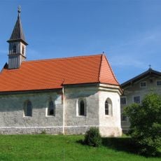
St. Vitus
2.7 km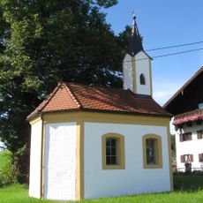
Heilige Drei Könige
3.5 km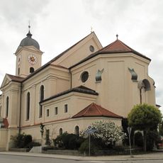
St. Laurentius
1.4 km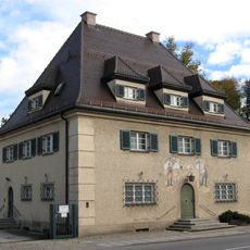
Münchener Straße 8
1.4 km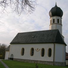
Saint Peter Church
136 m
LSG Untere Leitzach
3.2 km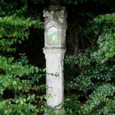
Bildstock
2.7 km
Bildstock
3.3 km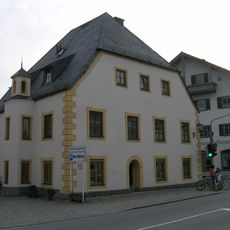
Westerhamer Straße 1
1.4 km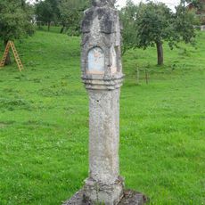
Bildstock
2.8 km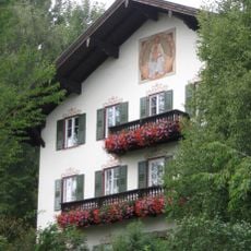
Bauernhaus Beim Moar
3.3 km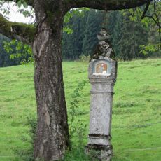
Bildstock
1.9 km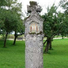
Bildstock
2.7 km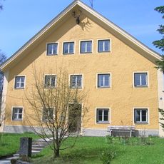
Altenburg 5
2.5 km
Villenartiges Wohnhaus
1.2 km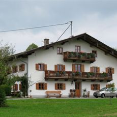
Bauernhaus ''Beim Christer''
3.5 km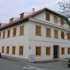
Rosenheimer Straße 1
1.5 km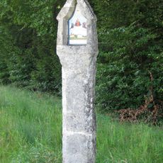
Bildstock
2.2 km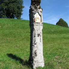
Bildstock
2.7 km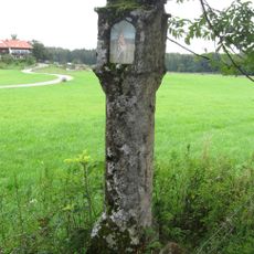
Bildstock
2.9 km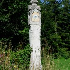
Bildstock
3 km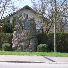
Gedenkstein für Prinzregent Luitpold
299 m
Wohnhaus
1.4 km
Gartenmauer mit Inschriftstein
1.4 kmVisited this place? Tap the stars to rate it and share your experience / photos with the community! Try now! You can cancel it anytime.
Discover hidden gems everywhere you go!
From secret cafés to breathtaking viewpoints, skip the crowded tourist spots and find places that match your style. Our app makes it easy with voice search, smart filtering, route optimization, and insider tips from travelers worldwide. Download now for the complete mobile experience.

A unique approach to discovering new places❞
— Le Figaro
All the places worth exploring❞
— France Info
A tailor-made excursion in just a few clicks❞
— 20 Minutes