
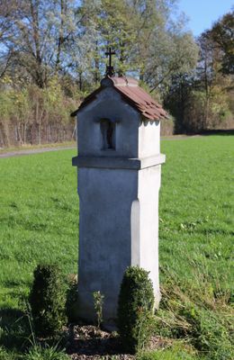
Bildstock, gemauerter Pfeiler mit Bildnische, wohl 17. Jahrhundert
Location: Raubling
Address: Flur Stocka
GPS coordinates: 47.80767,12.11405
Latest update: March 12, 2025 12:03
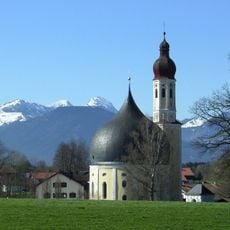
Wallfahrtskirche Heilig Kreuz
3.1 km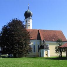
Wallfahrtskirche Heilig Blut am Wasen
3.1 km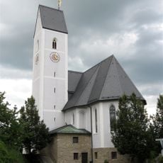
St. Ursula
3.2 km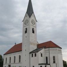
Mariä Himmelfahrt
2.4 km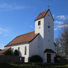
St. Theresia von Lisieux (Nicklheim)
3.3 km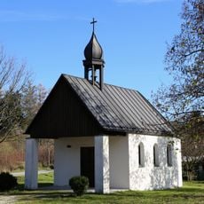
St. Erasmus
1.8 km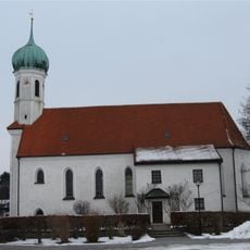
St. Nikolaus (Pfraundorf)
451 m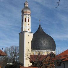
Kath. Filial- und Wallfahrtskirche Hl. Kreuz
3.1 km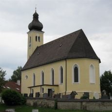
St. Stephan
2.5 km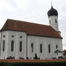
St. Martin
2.6 km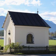
Kapelle an der Nicklheimer Straße
2.4 km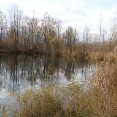
LSG Innauen-Süd
2.6 km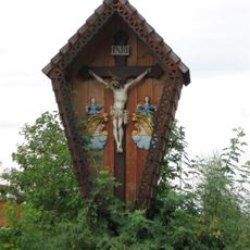
Feldkreuz
2.5 km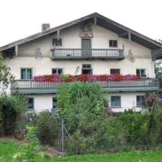
Brannenburger Straße 23
2 km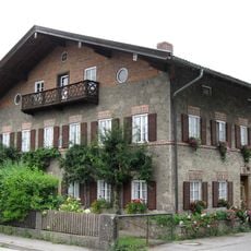
Aisinger Straße 96
2.3 km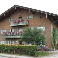
Aisinger Straße 98
2.3 km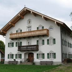
Innaustraße 11
2.7 km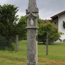
Pestsäule
767 m
Ehem. Kleinbauernhaus
2.4 km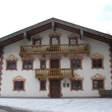
Wohnteil eines Einfirsthofes
3.2 km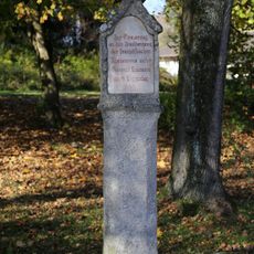
Bildstock
1.6 km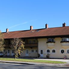
Rosenheimer Straße 26 (Redenfelden)
1.6 km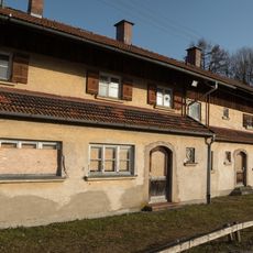
Rosenheimer Straße 31 a-g (Redenfelden)
1.5 km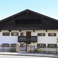
Bauernhaus
1.4 km
Raublinger Straße 10
2.2 km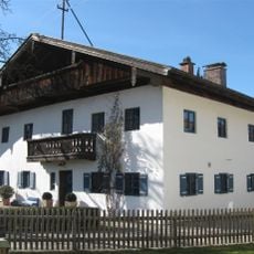
Ehem. Bauernhaus
3.4 km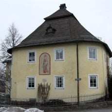
Kufsteiner Straße 83
3.2 km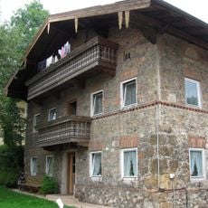
Am Wasen 75
3.1 kmReviews
Visited this place? Tap the stars to rate it and share your experience / photos with the community! Try now! You can cancel it anytime.
Discover hidden gems everywhere you go!
From secret cafés to breathtaking viewpoints, skip the crowded tourist spots and find places that match your style. Our app makes it easy with voice search, smart filtering, route optimization, and insider tips from travelers worldwide. Download now for the complete mobile experience.

A unique approach to discovering new places❞
— Le Figaro
All the places worth exploring❞
— France Info
A tailor-made excursion in just a few clicks❞
— 20 Minutes