
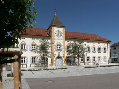
Ehemals Verwaltungsgebäude der Sprengstoffwerke, jetzt Rathaus
Ehemals Verwaltungsgebäude der Sprengstoffwerke, jetzt Rathaus, building in Geretsried, Upper Bavaria, Germany
Location: Geretsried
Address: Karl-Lederer-Platz 1
GPS coordinates: 47.87441,11.46497
Latest update: March 10, 2025 10:54
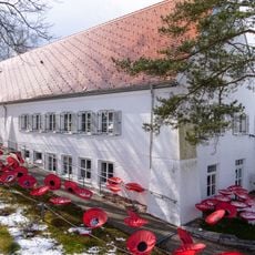
Erinnerungsort Badehaus
3.2 km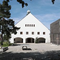
St. Matthias Waldram
3.2 km
Schloss Ascholding
2.9 km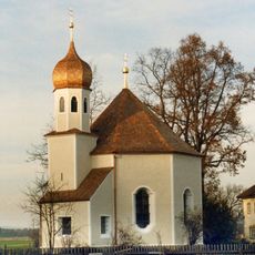
Nikolauskapelle
1.6 km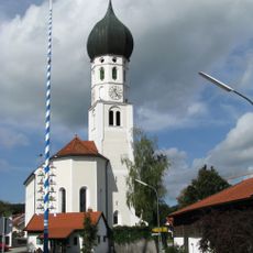
St. Benedikt
3.8 km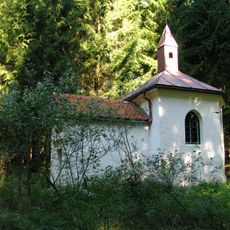
Kindswieskapelle
3.4 km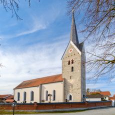
Sankt Leonhard (Ascholding)
3.3 km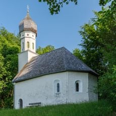
Kapelle St. Georg
3.2 km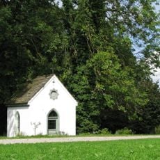
Hofkapelle
3.1 km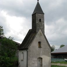
Weilerkapelle zur Hl. Kümmernis
3.9 km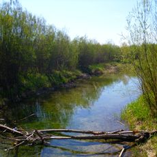
Isarauen zwischen Schäftlarn und Bad Tölz (ex-"Pupplinger und Ascholdinger Au")
2.3 km
Schutz von Landschaftsteilen im Isartal zwischen Icking und Königsdorf
2 km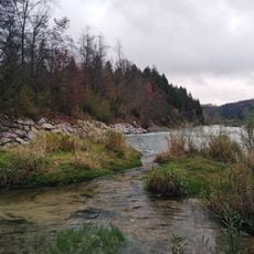
Isar-Prallhang bei Geretsried/Gartenberg
1.2 km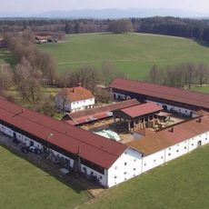
Gutshof
1.6 km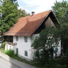
Ehemals Kleinbauernhaus
3.8 km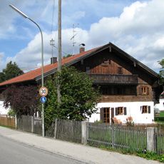
Ehemals Bauernhaus
3.8 km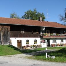
Einfirsthof
3.3 km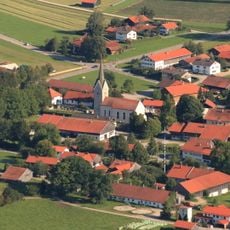
'''Ensemble Ortskern Ascholding'''
3.1 km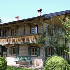
Am Dorfbach 8
3.1 km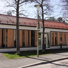
Museum der Stadt Geretsried
92 m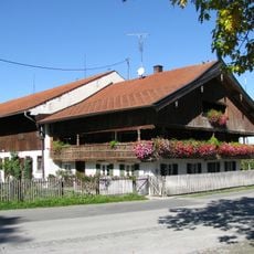
Hauptstraße 9
3.2 km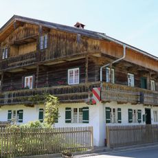
Hauptstraße 13
3.2 km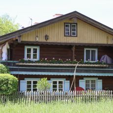
Ehemals Kleinbauernhaus
3.2 km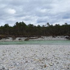
Isar-Prallhang bei Wolfratshausen
3.4 km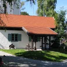
Ehemals Dorfschmiede
3.8 km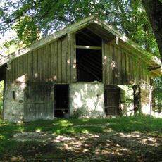
Kalkofen (Dietramszell)
3 km
Ascholdinger Au
2.9 km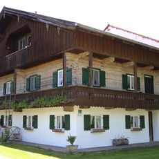
Wohnteil eines ehemaligen Bauernhauses
3.1 kmVisited this place? Tap the stars to rate it and share your experience / photos with the community! Try now! You can cancel it anytime.
Discover hidden gems everywhere you go!
From secret cafés to breathtaking viewpoints, skip the crowded tourist spots and find places that match your style. Our app makes it easy with voice search, smart filtering, route optimization, and insider tips from travelers worldwide. Download now for the complete mobile experience.

A unique approach to discovering new places❞
— Le Figaro
All the places worth exploring❞
— France Info
A tailor-made excursion in just a few clicks❞
— 20 Minutes