
Wehr, triftklause, Wehranlage mit breiter Staumauer aus Tuffquadern und zwei Wasserdurchlässen, um 1750, darauf zwei ehemalige Betriebshäuschen in Blockbau mit Walmdächern
Location: Ruhpolding
Address: Röthelmoosalm, Stuhlwand; Öfen
GPS coordinates: 47.71674,12.55245
Latest update: April 5, 2025 23:58
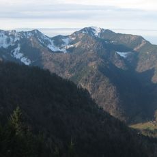
Hochfelln
5.1 km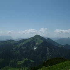
Hochgern
4.7 km
Freizeitpark Ruhpolding
5.5 km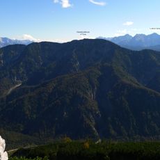
Dürrnbachhorn
6.3 km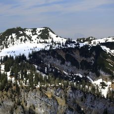
Gurnwandkopf
2.3 km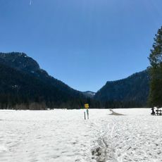
Röthelmoosalm
493 m
Seekopf (Ruhpolding)
5.1 km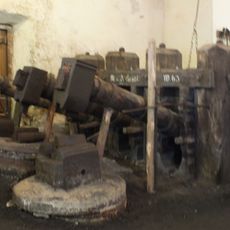
Glockenschmiede Ruhpolding
5.4 km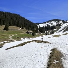
Dürrnbachalm
6.2 km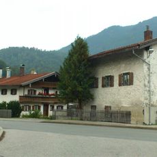
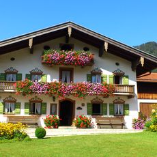
Bauernhaus
5.7 km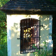
Kapellenbildstock
6.3 km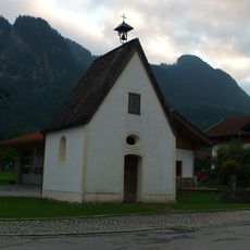
Dorfkapelle
6.5 km
Dürrnbachalm 1, Reit im Winkl
6.2 km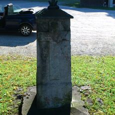
Bildstock
5.5 km
Hochsattel
3.7 km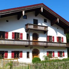
Bauernhaus
5.4 km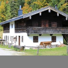
Bauernhaus
5.3 km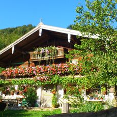
Bauernhaus
5.9 km
Bauernhaus
5.4 km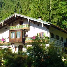
Bauernhaus
5.9 km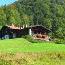
Bauernhaus
6 km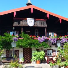
Bauernhaus
5.4 km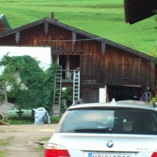
Zuhaus
6.5 km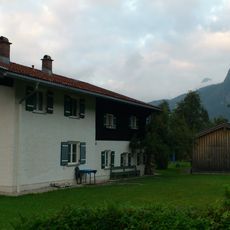
Wohnhaus
6.5 km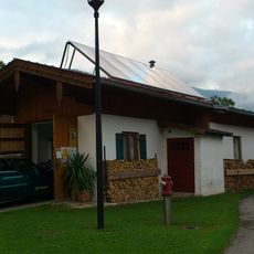
Zuhaus
6.5 km
Bauernhaus
5.9 km
Wohnhaus
5.9 kmReviews
Visited this place? Tap the stars to rate it and share your experience / photos with the community! Try now! You can cancel it anytime.
Discover hidden gems everywhere you go!
From secret cafés to breathtaking viewpoints, skip the crowded tourist spots and find places that match your style. Our app makes it easy with voice search, smart filtering, route optimization, and insider tips from travelers worldwide. Download now for the complete mobile experience.

A unique approach to discovering new places❞
— Le Figaro
All the places worth exploring❞
— France Info
A tailor-made excursion in just a few clicks❞
— 20 Minutes