
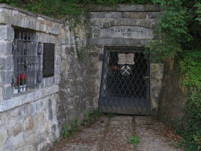
Stollenmundloch, bezeichnet mit dem Jahr 1837, mit Futtermauern und Stollen
Location: Hohenpeißenberg
Address: Glückaufstraße 37 (Nähe)
GPS coordinates: 47.79365,11.01911
Latest update: March 17, 2025 12:46
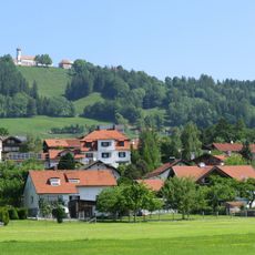
Hoher Peißenberg
926 m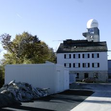
Hohenpeißenberg Meteorological Observatory
1.1 km
Bergwerk Peißenberg
2.9 km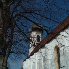
Wallfahrtskirche Mariä Himmelfahrt
926 m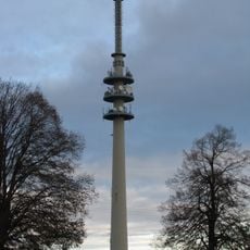
Sender Hohenpeißenberg
925 m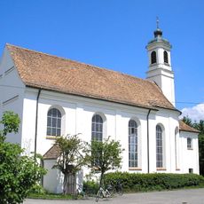
Wallfahrtskirche Maria Aich (Peißenberg)
5 km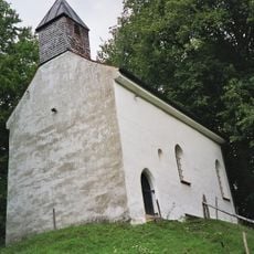
St. Georg (Peißenberg)
2.3 km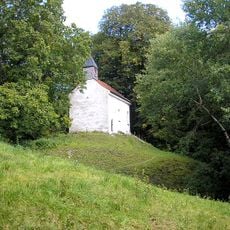
Burgstall Peißenberg
2.3 km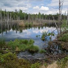
Schwarzlaichmoor
3.2 km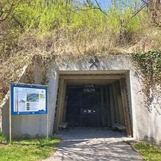
Kohleflöz am Bühlach
4.8 km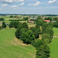
Burgstall bei Burgstall (Wessobrunn)
5.4 km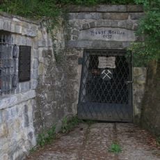
Hauptstollen Hohenpeißenberg
7 m
St. Johannes Baptist
4.6 km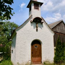
Maria-Hilf-Kapelle
2.7 km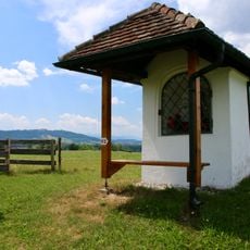
Feldkapelle
5.6 km
Kapelle St. Michael
2.5 km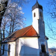
Kapelle St. Martin
2 km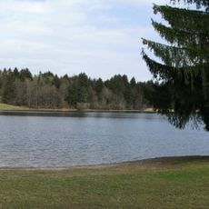
LSG Ammertal, Böbing, Hohenpeißenberg, Peißenberg, Peiting
2.8 km
Hofkapelle
2 km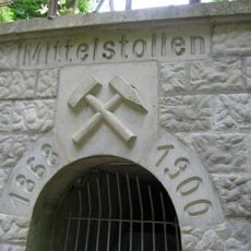
Sulzer Stollen und Mittelstollen W von Peißenberg
2.5 km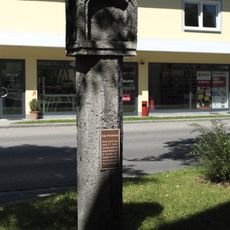
Pestsäule
4.5 km
Cultural heritage D-1-8132-0104 in Wessobrunn
4.7 km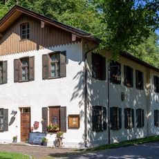
Bergbaumuseum Peißenberg
2.9 km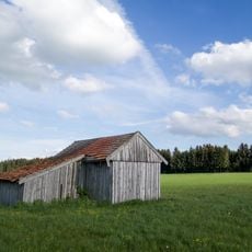
Moorkette von Peiting bis Wessobrunn
4.8 km
Ammer vom Alpenrand b. zum NSG 'Vogelfreistätte Ammersee-Südufer'
2 km
Bachstraße 18
4.3 km
Wessenbergfilz
3.4 km
Chorherrenhaus
933 mVisited this place? Tap the stars to rate it and share your experience / photos with the community! Try now! You can cancel it anytime.
Discover hidden gems everywhere you go!
From secret cafés to breathtaking viewpoints, skip the crowded tourist spots and find places that match your style. Our app makes it easy with voice search, smart filtering, route optimization, and insider tips from travelers worldwide. Download now for the complete mobile experience.

A unique approach to discovering new places❞
— Le Figaro
All the places worth exploring❞
— France Info
A tailor-made excursion in just a few clicks❞
— 20 Minutes