
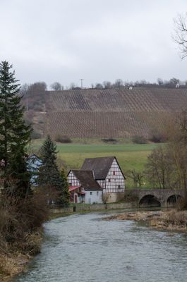
Weinbergslagen, wohl schon im Mittelalter bewirtschaftet, mit Trockenmauern und mächtigen Lesesteinhalden
Location: Bavaria
Location: Adelshofen
Address: Unterer Tauberweg – Berge und Untere Setzberge
GPS coordinates: 49.44649,10.12594
Latest update: April 13, 2025 06:37
Oppidum Finsterlohr
1.4 km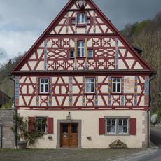
Hautschenmühle
1 km
Burgstall
1.1 km
Burg Finsterlohr
2.5 km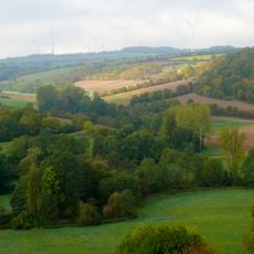
Creglingen
3.1 km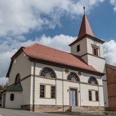
St. Veit
591 m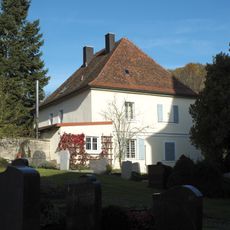
Tauberzell 11
583 m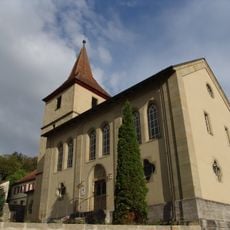
St. Johannes Baptist
1.4 km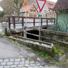
Brunnen
730 m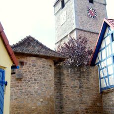
St. Margaretha
2.5 km
Steinkreuz in Neustett
1.4 km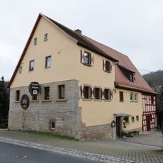
Tauberzell 9
560 m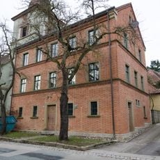
Tauberzell 10
578 m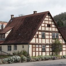
Tauberzell 25
755 m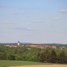
Wasserturm Schön
3.3 km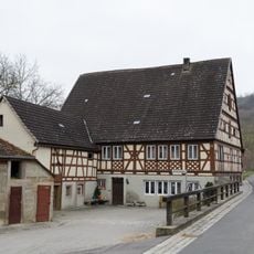
Salznersmühle
1.1 km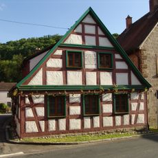
Tauberzell 14
603 m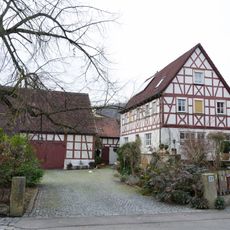
Tauberzell 23
719 m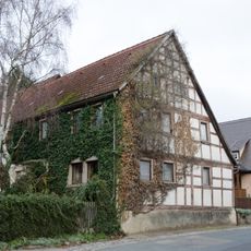
Tauberzell 20
679 m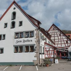
Tauberzell 41
784 m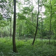
Bruchwald Burgstall Sanderer
1.1 km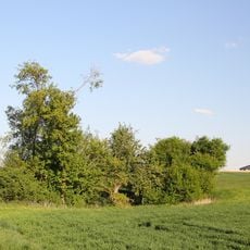
Doline Stöckich
2.2 km
Feuchtwiese Heiligen
2.4 km
Wohnhaus
656 m
Tauberzell 13
632 m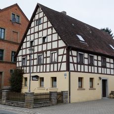
Tauberzell 8
563 m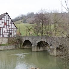
Tauberbrücke
464 m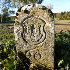
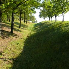
Rothenburger Landhege mit Landhegestein Nr. 60
1.9 kmReviews
Visited this place? Tap the stars to rate it and share your experience / photos with the community! Try now! You can cancel it anytime.
Discover hidden gems everywhere you go!
From secret cafés to breathtaking viewpoints, skip the crowded tourist spots and find places that match your style. Our app makes it easy with voice search, smart filtering, route optimization, and insider tips from travelers worldwide. Download now for the complete mobile experience.

A unique approach to discovering new places❞
— Le Figaro
All the places worth exploring❞
— France Info
A tailor-made excursion in just a few clicks❞
— 20 Minutes