
Ehemals Wohnstallhaus, building in Hinterherberg, Lower Bavaria, Germany
Location: Auerbach
Address: Hinterherberg 7
GPS coordinates: 48.82424,13.12195
Latest update: April 17, 2025 10:48
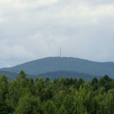
Brotjacklriegel
7 km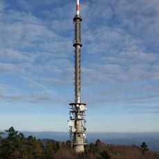
Brotjacklriegel transmitter
7.1 km
Rusel
6.5 km
Büchelstein
4.3 km
Hausstein
6.4 km
St. Michael
7.2 km
Todtenau und umgebende Auen
6.7 km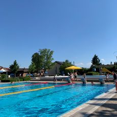
Wellenfreibad Hengersberg
7.4 km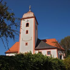
St. Johannes und St. Paulus
4 km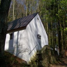
Wallfahrtskapelle Rastbuche in Grattersdorf
4.4 km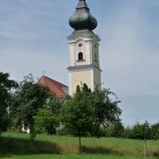
Katholische Pfarrkirche St. Stephan
2.7 km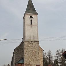
Katholische Pfarrkirche St. Peter und Paul
7.1 km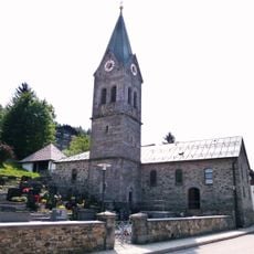
Katholische Pfarrkirche Mariä Himmelfahrt
5.9 km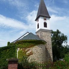
Vierzehn Nothelfer
4.6 km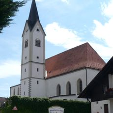
St. Ägidius
3.2 km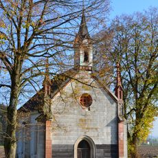
Kapelle
6.3 km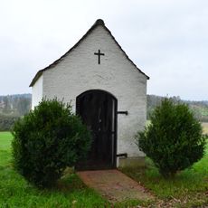
Kapelle, sogenannte Schwarzmühl-Kapelle
6.8 km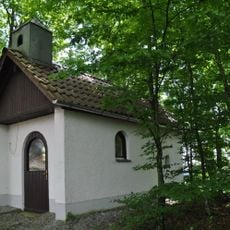
Kapelle
6.6 km
Todtenau
6.7 km
Schützinger Berg S von Schützing
7 km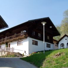
Grattersdorf Falkenacker 3
3.7 km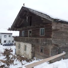
Wohnhaus eines ehemaligen Dreiseithofs
4.3 km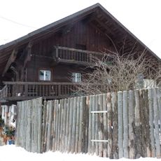
Wohnstallhaus, ehemaliges Inhaus zum Gasthof
4.4 km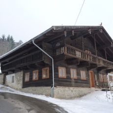
Wohnhaus, ehemaliger Gasthof
4.4 km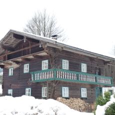
Mitterstallhaus
2.3 km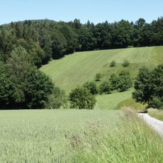
Obere Hengersberger Ohe mit Hangwiesen
1.8 km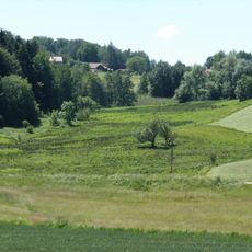
Extensivwiesen östlich Deggendorf
6.9 km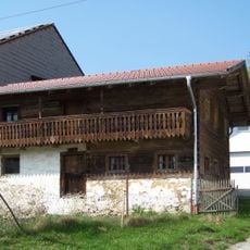
Ehemaliges Austragshaus
3.8 kmReviews
Visited this place? Tap the stars to rate it and share your experience / photos with the community! Try now! You can cancel it anytime.
Discover hidden gems everywhere you go!
From secret cafés to breathtaking viewpoints, skip the crowded tourist spots and find places that match your style. Our app makes it easy with voice search, smart filtering, route optimization, and insider tips from travelers worldwide. Download now for the complete mobile experience.

A unique approach to discovering new places❞
— Le Figaro
All the places worth exploring❞
— France Info
A tailor-made excursion in just a few clicks❞
— 20 Minutes