
Wegkreuz, gusseisen, 19. Jahrhundert, älterer Steinsockel in Form einer Ädikula; südöstlich von Kreuzberg an der Abzweigung von der Staatsstraße
Location: Freyung
Address: Hofäcker
GPS coordinates: 48.83423,13.55375
Latest update: May 28, 2025 06:27
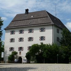
Wolfstein Castle
2.5 km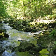
Buchberger Leite
3.6 km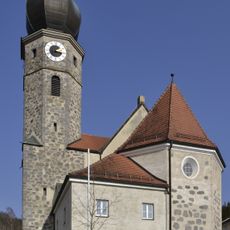
St. Michael
6.4 km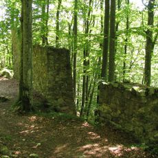
Burg Neuenbuchberg
4.5 km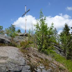
Kanzel
6.2 km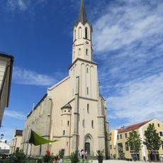
Stadtpfarrkirche Mariä Himmelfahrt (Freyung)
3 km
Pfarrkirche Hinterschmiding
3.6 km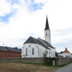
St. Anna (Kreuzberg)
524 m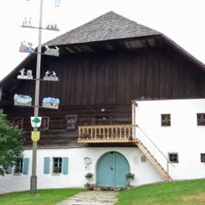
Schramlhaus
3.1 km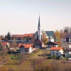
St. Peter und Paul
5.2 km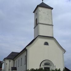
Katholische Pfarrkirche St. Leopold
6.5 km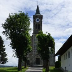
St. Oswald
6.3 km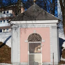
Dreifaltigkeitskapelle
2.8 km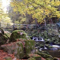
Schutz des Landschaftsteils Buchberger- und Reschbachleite, im Bereich der Gemeinden Freyung, Hohenau, Kumreut und Wasching, Landkreis Wolfstein
4 km
Kapelle
2.2 km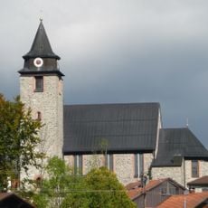
Katholische Pfarrkirche St. Heinrich und Gunther
3.5 km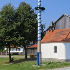
Historische Ausstattung der Kapelle
3.2 km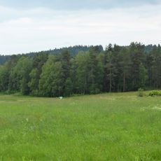
Moorwald bei Kirchl
4 km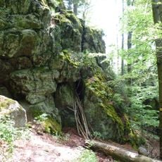
Kleine Kanzel im Nationalpark Bayerischer Wald
6 km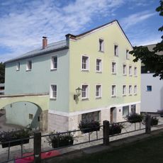
Schulgasse 17
2.9 km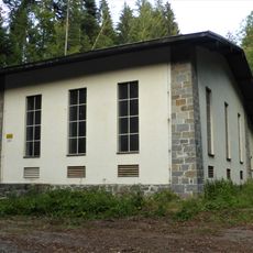
Kraftwerksanlagen Ahornöd 29
3.3 km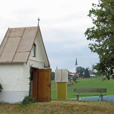
Feldkapelle
394 m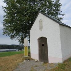
Flurkapelle St. Vitus
352 m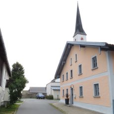
Ehemaliger Gasthof
570 m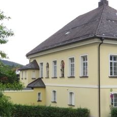
Katholischer Pfarrhof
3.1 km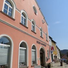
Stadtplatz 13
3 km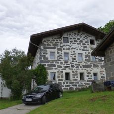
Geyersberg 13
5 km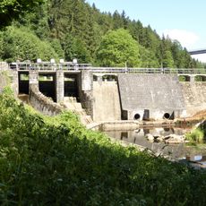
Kraftwerksanlagen am Saußbach-Stausee
2.9 kmReviews
Visited this place? Tap the stars to rate it and share your experience / photos with the community! Try now! You can cancel it anytime.
Discover hidden gems everywhere you go!
From secret cafés to breathtaking viewpoints, skip the crowded tourist spots and find places that match your style. Our app makes it easy with voice search, smart filtering, route optimization, and insider tips from travelers worldwide. Download now for the complete mobile experience.

A unique approach to discovering new places❞
— Le Figaro
All the places worth exploring❞
— France Info
A tailor-made excursion in just a few clicks❞
— 20 Minutes