
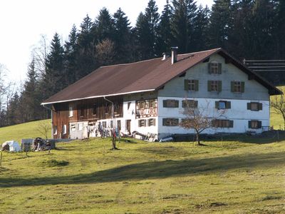
Wohnteil eines Bauernhauses, building in Buchenberg, Swabia, Germany
Location: Buchenberg
Address: Kenels 76
GPS coordinates: 47.68535,10.19882
Latest update: March 3, 2025 14:09
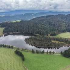
Eschacher Weiher
1.2 km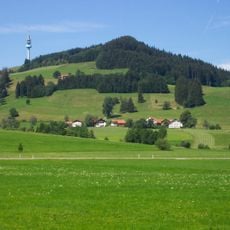
Blender
5.3 km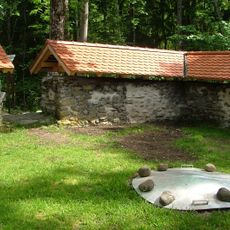
Burgus Ahegg
4.7 km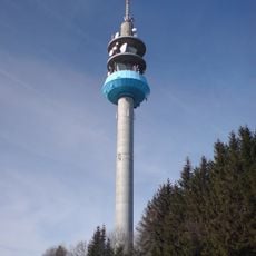
Blender (tranmission plant)
5 km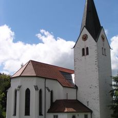
St. Johannes der Täufer
4.1 km
Raggenhorn
4.9 km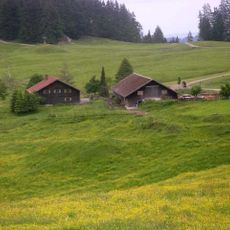
Alpe Wenger Egg
4.7 km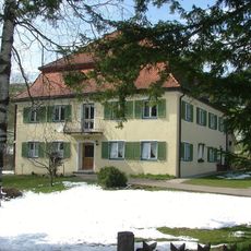
Rectory
4.1 km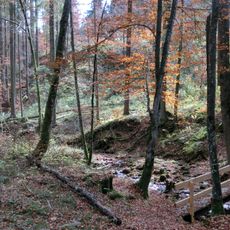
Rohrbachtobel im Wierlinger Forst
4.3 km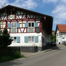
Aheggmühle
4.8 km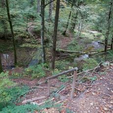
Hölzlers Tobel
3.6 km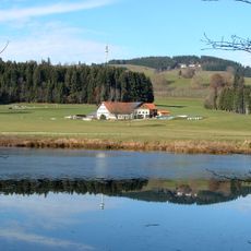
Herrenwies
5.1 km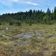
Schönleitenmoos im Wierlinger Forst
2.6 km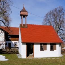
St. Ulrich (Wagenbühl)
4.8 km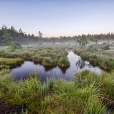
Breitenmoos
1.9 km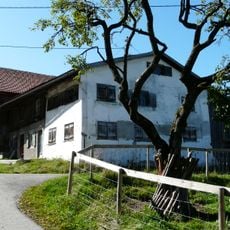
Bauernhaus
4 km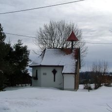
Historische Ausstattungsstücke in moderner Kapelle von 1958
2.7 km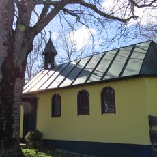
Kapelle
2.4 km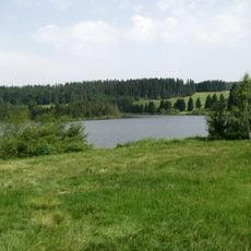
Eschacher Weiher
1.3 km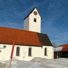
Filialkirche
2.3 km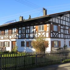
Ehemaliges Bauernhaus
3.2 km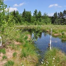
Moore im Wirlinger Wald
2.3 km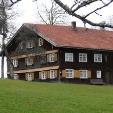
Bauernhaus
940 m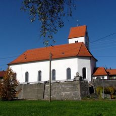
Pfarrkirche
2.8 km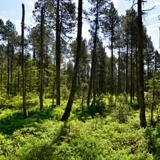
Schönleitenmoos
2.6 km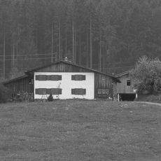
Ehemaliges Kleinbauernhaus
5.4 km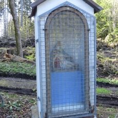
Bildstock
3.4 km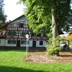
Wirtshaus Adler, Buchenberg
3.2 kmReviews
Visited this place? Tap the stars to rate it and share your experience / photos with the community! Try now! You can cancel it anytime.
Discover hidden gems everywhere you go!
From secret cafés to breathtaking viewpoints, skip the crowded tourist spots and find places that match your style. Our app makes it easy with voice search, smart filtering, route optimization, and insider tips from travelers worldwide. Download now for the complete mobile experience.

A unique approach to discovering new places❞
— Le Figaro
All the places worth exploring❞
— France Info
A tailor-made excursion in just a few clicks❞
— 20 Minutes