Enable Location

We need your location to show you interesting places around you

Discover nearby places

Find interesting locations and hidden gems around you

Precise directions

Get accurate directions and distances to places

Your location is never shared with other users. It's only used when you tap the location button.

Raggenhorn

Log in to your account

Start exploring — it's free

Trusted by 60,659 travelers worldwide

Continue with Google
Continue with Apple
or

We will send you a code to connect

By continuing, you accept our Terms and Conditions and our Privacy Policy

Check your inbox

We've sent a pincode in your inbox. Please enter the code below.

Raggenhorn

Raggenhorn, Mountain summit in Baden-Württemberg, Germany.

Description

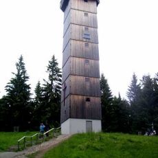
Raggenhorn is a 1056 meter summit in Baden-Württemberg featuring a peak cross and clearly marked trails that branch toward different viewpoints. Multiple well-maintained routes connect to the slopes, with informational signs positioned along the paths to guide visitors.

History

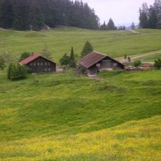
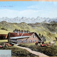
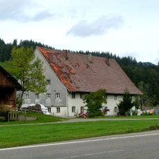
In the 19th century, shepherds from the surrounding area used the mountain slopes for grazing herds as part of seasonal farming patterns. These pastoral routes connected high pastures to the valleys below, establishing pathways that remain in use today.

Culture

The hiking routes around this summit function as gathering places where regional walkers encounter each other and share their journeys. The trails reflect how communities in the Black Forest have historically used these elevations for connection and movement.

Practical

The summit is accessible through well-marked trails starting from nearby villages, making orientation straightforward for visitors of different abilities. Benches are positioned throughout the routes, providing rest stops during the walk upward.

Did you know?

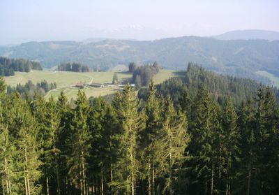
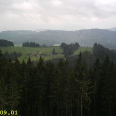
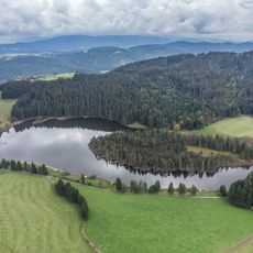
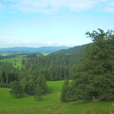
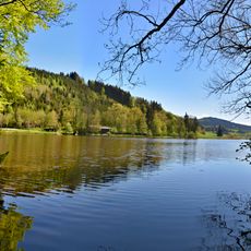
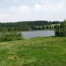
On clear days, the summit offers views of both the Adelegg foothills and the distant Alpine ranges from a single viewpoint. This dual perspective reveals how the location sits at the geographical intersection of two major landscape regions.

Elevation above the sea
1,056.2 m
GPS coordinates
47.68555,10.13335
Latest update
December 14, 2025 20:30

AroundUs brings together thousands of curated places, local tips, and hidden gems, enriched daily by 60,000 contributors worldwide. Discover all places nearby (Baden-Württemberg).

« Raggenhorn - Mountain summit in Baden-Württemberg, Germany » is provided by Around Us (aroundus.com). Images and texts are derived from Wikimedia project under a Creative Commons license. You are allowed to copy, distribute, and modify copies of this page, under the conditions set by the license, as long as this note is clearly visible.

Discover hidden gems everywhere you go!

From secret cafés to breathtaking viewpoints, skip the crowded tourist spots and find places that match your style. Our app makes it easy with voice search, smart filtering, route optimization, and insider tips from travelers worldwide. Download now for the complete mobile experience.

Around Us App Screenshot

A unique approach to discovering new places

Le Figaro

All the places worth exploring

France Info

A tailor-made excursion in just a few clicks

20 Minutes

Around Us
Travel Guide & Maps
Download

Send to your phone

QR Code
1

Open the camera app on your mobile.

2

Point at the QR code with your camera. A notification will appear.

3

Tap the notification to open the link.