Enable Location

We need your location to show you interesting places around you

Discover nearby places

Find interesting locations and hidden gems around you

Precise directions

Get accurate directions and distances to places

Your location is never shared with other users. It's only used when you tap the location button.

Schwarzer Grat

Log in to your account

Start exploring — it's free

Trusted by 65,553 travelers worldwide

Continue with Google
Continue with Apple
or

We will send you a code to connect

By continuing, you accept our Terms and Conditions and our Privacy Policy

Check your inbox

We've sent a pincode in your inbox. Please enter the code below.

Schwarzer Grat
Discussion Reviews 1 Photos
10k Popularity

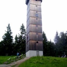
Schwarzer Grat, Mountain summit in Baden-Württemberg, Germany

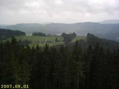
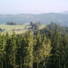
Schwarzer Grat is the highest summit of the Adelegg, a range of low mountains in the southeastern corner of Baden-Württemberg, sitting at around 1,118 meters (3,668 feet) above sea level. It stands near the border with Bavaria, on the edge of the northern Alpine Foreland.

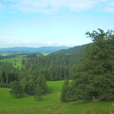
The Adelegg range, of which this summit is the highest point, served for centuries as a natural dividing line between different territories, and later became part of the boundary between Baden-Württemberg and Bavaria. Because of its dense forest cover and elevated position, the area remained sparsely settled for a long time.

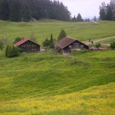
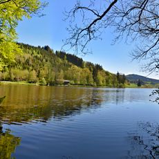
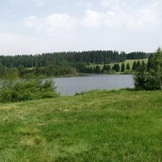
On clear days, visitors standing at the top can see the Alps to the south and Lake Constance to the west, which makes the summit a natural stopping point for walkers from across the region. The benches and rest areas near the top are often busy on weekends, when families and hikers from nearby towns make their way up together.

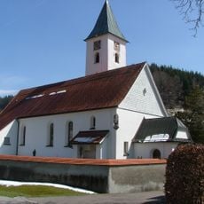
Several marked trails lead to the summit, including routes starting from the Wenger Egg Alpe and the Stabkirche Überruh loop. The paths are generally easy to follow from spring through autumn, though they can become muddy after rain.

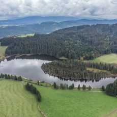
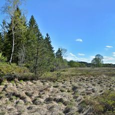
The Eisenbacher Tobel, a small stream, rises on the southwestern slopes of the summit, making this one of the few source points in the Adelegg area. The word Tobel refers to a narrow, forested ravine typical of this part of southern Germany, and several of these hidden gullies cut through the hillsides around the peak.

The community of curious travelers

AroundUs brings together thousands of curated places, local tips, and hidden gems, enriched daily by 60,000 contributors worldwide.

Start exploring
Elevation above the sea
1,118 m
GPS coordinates
47.69233,10.12576
Latest update
March 3, 2026 10:12
Reviews
Share your experience

No review yet

Discussions
Start a discussion...

No discussion yet

« Schwarzer Grat - Mountain summit in Baden-Württemberg, Germany » is provided by Around Us (aroundus.com). Images and texts are derived from Wikimedia project under a Creative Commons license. You are allowed to copy, distribute, and modify copies of this page, under the conditions set by the license, as long as this note is clearly visible.

Discover hidden gems everywhere you go!

From secret cafés to breathtaking viewpoints, skip the crowded tourist spots and find places that match your style. Our app makes it easy with voice search, smart filtering, route optimization, and insider tips from travelers worldwide. Download now for the complete mobile experience.

Around Us App Screenshot

A unique approach to discovering new places

Le Figaro

All the places worth exploring

France Info

A tailor-made excursion in just a few clicks

20 Minutes

Around Us
Travel Guide & Maps
Download

Send to your phone

QR Code
1

Open the camera app on your mobile.

2

Point at the QR code with your camera. A notification will appear.

3

Tap the notification to open the link.