
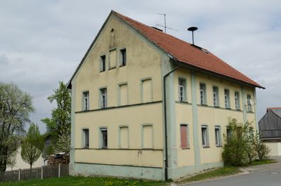
Ehemalige Schule, zweigeschossiger Satteldachbau, mit Lisenengliederung, 1858/60
Location: Gnotzheim
Address: Kirchenbuck 7
GPS coordinates: 49.05684,10.71241
Latest update: March 5, 2025 03:10
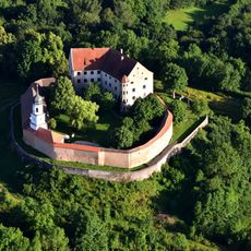
Burg Spielberg
1.3 km
Käsrinne bei Heidenheim
2.9 km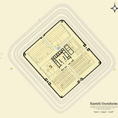
Castra Mediana
578 m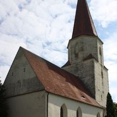
St. Martin
4.2 km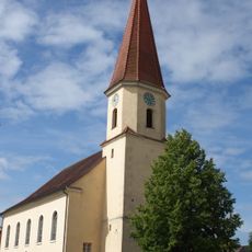
St. Anna
4 km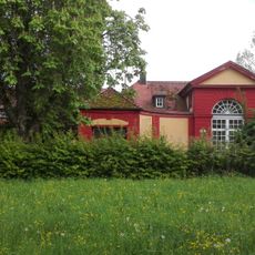
Schloss Laufenbürg
3.9 km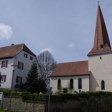
Evangelisch-lutherische Kirche Sankt Laurentius
3 km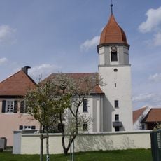
St. Emmeram
2.9 km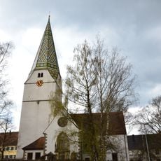
Evangelisch-lutherische Pfarrkirche St. Maria
4.1 km
St. Michael
3.5 km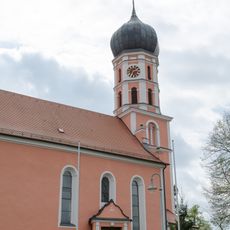
Saint Michael Church
66 m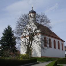
St. Georg
464 m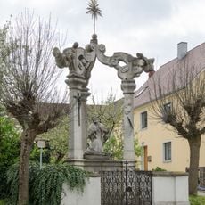
Johann-Nepomuk-Denkmal
287 m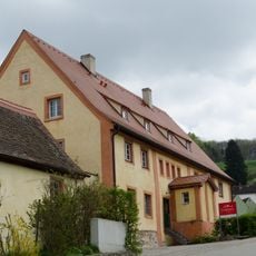
Brauereigasthof Gnotzheim
1.1 km
Gemeindeturm Nordstetten
2.2 km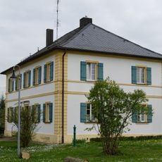
Pfarrhaus
84 m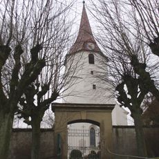
St. Peter
3.6 km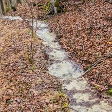
Steinerne Rinne von Buckmühle
2.1 km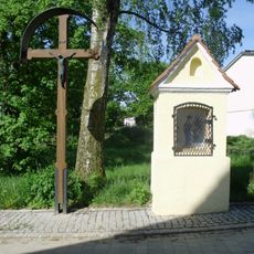
Hofkapelle
2 km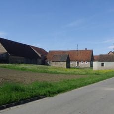
Kapelle
1.5 km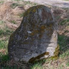
Steinkreuz bei Ostheim
2.5 km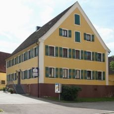
Gasthaus
4 km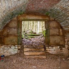
Stollen der Barbara-Zeche
4 km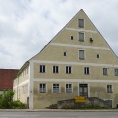
Marktplatz 9
303 m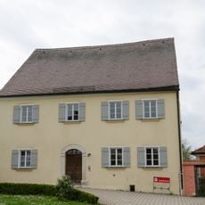
Ehemaliges Benefiziatenhaus
83 m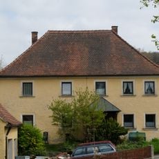
Spielberg 19
1.4 km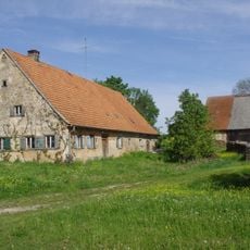
Wohnstallhaus
1.5 km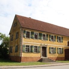
Bauernhaus Obermögersheim 1
4 kmVisited this place? Tap the stars to rate it and share your experience / photos with the community! Try now! You can cancel it anytime.
Discover hidden gems everywhere you go!
From secret cafés to breathtaking viewpoints, skip the crowded tourist spots and find places that match your style. Our app makes it easy with voice search, smart filtering, route optimization, and insider tips from travelers worldwide. Download now for the complete mobile experience.

A unique approach to discovering new places❞
— Le Figaro
All the places worth exploring❞
— France Info
A tailor-made excursion in just a few clicks❞
— 20 Minutes