
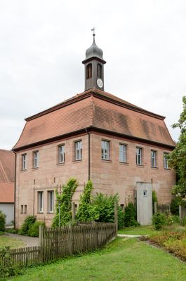
Ehemaliges Fuetterer'sches Schlösschen, später Harsdorfer Schlösschen
Ehemaliges Fuetterer'sches Schlösschen, später Harsdorfer Schlösschen, zweigeschossiger Sandsteinquaderbau über quadratischem Grundriss, mit Mansarddach und Glockentürmchen, 18. Jahrhundert
Location: Spalt
Address: Freiherr-von-Harsdorf-Straße 23
GPS coordinates: 49.14803,10.91766
Latest update: March 2, 2025 19:45
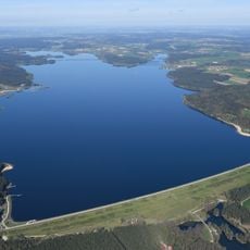
Großer Brombachsee
2.3 km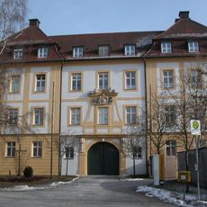
Schloss Absberg
2.6 km
Burg Absberg
2.8 km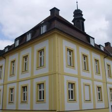
Saint Odile Church
2.6 km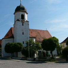
Christuskirche
2.7 km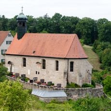
St. Ägidius
1.8 km
Grafenmühle
2.7 km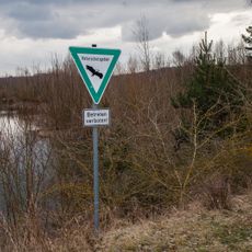
Sägmühle
1.3 km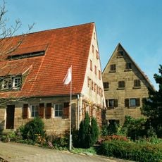
Ritter-Konrad-Straße 15
2.6 km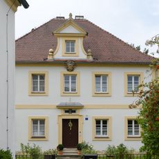
Katholischer Pfarrhof (Absberg)
2.7 km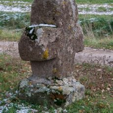
Steinkreuz östlich von Ottmannsberg
964 m
Grießbuck 24
2.2 km
Steinkreuz bei Hagsbronn
1.6 km
Grießbuck 22
2.2 km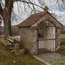
Wegkapelle
1.6 km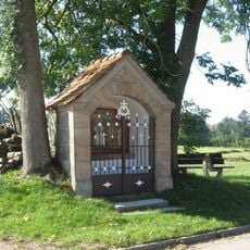
Wegkapelle
1.9 km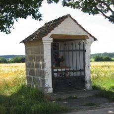
Wegkapelle
1.1 km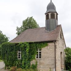
Katholische Ortskapelle
2.1 km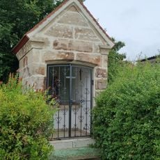
Hofkapelle Ritter-Konrad-Straße 15 in Absberg
2.6 km
Ehemaliges Hopfenbauernhaus
2.8 km
Ehemalige Ziegelhütte
2.8 km
Wohnstallhaus eines Dreiseithofes
2.1 km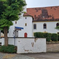
Friedhofsmauer Bischof-Ehrenfried-Straße; Nähe Marktplatz in Absberg
2.7 km
Hopfenbauernhaus
2.2 km
Ehemaliges Schulhaus
1.8 km
Hopfenbauernhaus
2.2 km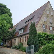
Residential stable house Ritter-Konrad-Straße 13
2.6 km
Ehemaliges Schulhaus
2.8 kmVisited this place? Tap the stars to rate it and share your experience / photos with the community! Try now! You can cancel it anytime.
Discover hidden gems everywhere you go!
From secret cafés to breathtaking viewpoints, skip the crowded tourist spots and find places that match your style. Our app makes it easy with voice search, smart filtering, route optimization, and insider tips from travelers worldwide. Download now for the complete mobile experience.

A unique approach to discovering new places❞
— Le Figaro
All the places worth exploring❞
— France Info
A tailor-made excursion in just a few clicks❞
— 20 Minutes