
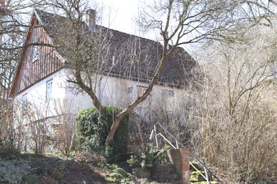
Kellerhaus, cultural heritage monument D-4-73-159-57 (0) in Rödental, Bavaria
Location: Rödental
Address: Bergheimstraße 39
GPS coordinates: 50.35563,11.01069
Latest update: March 15, 2025 09:28
Grümpental Bridge
4.2 km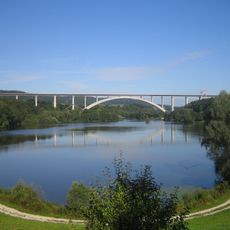
Froschgrundsee
1.4 km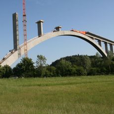
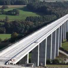
Talbrücke Froschgrundsee
820 m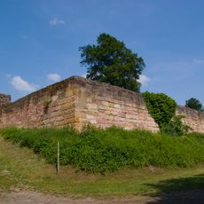
Burg Lauterburg
4.3 km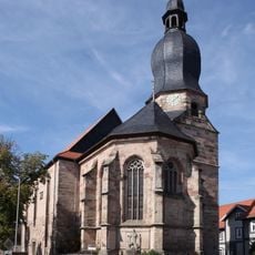
St. Johannis, Schalkau
4.3 km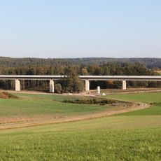
Talbrücke Pöpelholz
1 km
Itztal und Effeldertal bei Weißenbrunn vorm Wald
685 m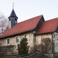
Burgstall Neukirchen
3.4 km
Johanniskirche (Neukirchen)
3.4 km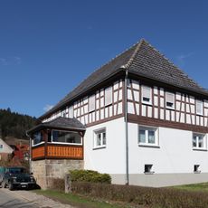
Cultural heritage D-4-73-159-43 in Rödental
99 m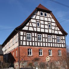
Cultural heritage D-4-73-159-51 in Rödental
166 m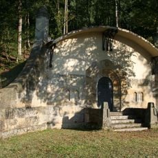
Wassersammelbecken Fischbach
2.5 km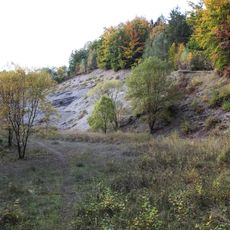
Ehemaliger Steinbruch im Taimbacher Forst NE von Oberlauter
3.2 km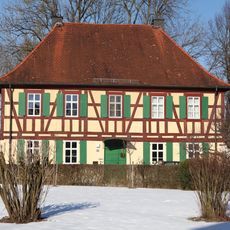
Pfarrhaus
93 m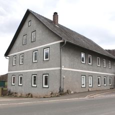
Bauernhaus
3.4 km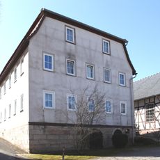
Gasthaus
57 m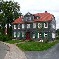
Schulgebäude
81 m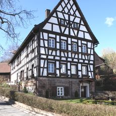
Cultural heritage D-4-73-159-47 in Rödental
199 m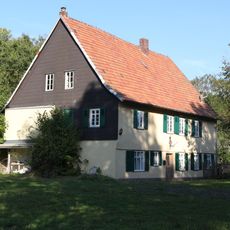
Forsthaus
3 km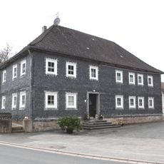
Cultural heritage D-4-73-141-14 in Lautertal (Oberfranken)
3.4 km
Birketsbach W von Weißenbrunn vorm Wald
445 m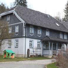
Cultural heritage D-4-73-141-31 in Lautertal (Oberfranken)
4.1 km
Cultural heritage D-4-73-159-39 in Rödental
41 m
Cultural heritage D-4-73-159-46 in Rödental
118 m
Cultural heritage D-4-73-159-52 in Rödental
98 m
Schwengbrunn
4.2 km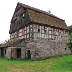
Wasserburg
1.8 km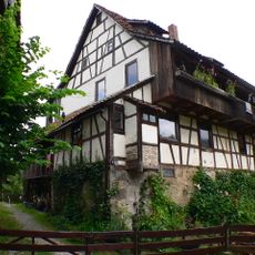
Cultural heritage D-4-73-159-38 in Rödental
195 mReviews
Visited this place? Tap the stars to rate it and share your experience / photos with the community! Try now! You can cancel it anytime.
Discover hidden gems everywhere you go!
From secret cafés to breathtaking viewpoints, skip the crowded tourist spots and find places that match your style. Our app makes it easy with voice search, smart filtering, route optimization, and insider tips from travelers worldwide. Download now for the complete mobile experience.

A unique approach to discovering new places❞
— Le Figaro
All the places worth exploring❞
— France Info
A tailor-made excursion in just a few clicks❞
— 20 Minutes