
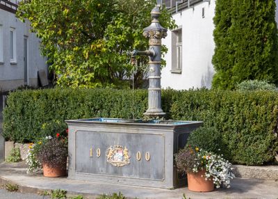
Marktbrunnen, cultural heritage monument D-4-74-176-44 (0) in Wiesenttal, Bavaria
Location: Wiesenttal
Location: Wiesenthau
Address: Burgleite; Dorfplatz; Hadergasse; Muschelquellenweg; Schauertal; Streitberger Berg
GPS coordinates: 49.81075,11.21955
Latest update: March 4, 2025 18:53
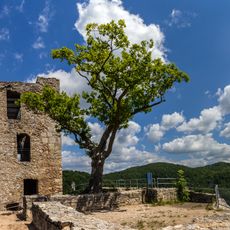
Neideck Castle
940 m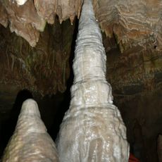
Bing Cave
250 m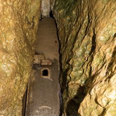
Schönsteinhöhle
2 km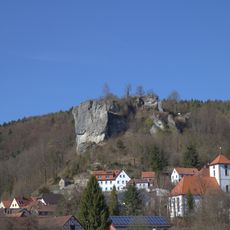
Burgruine
254 m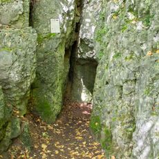
Rosenmüller Cave
2.9 km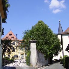
Schloss
2.7 km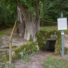
Trainmeuseler Brunnen
2 km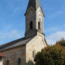
St. Peter und Paul
2.5 km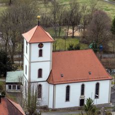
Trinity church (Streitberg)
111 m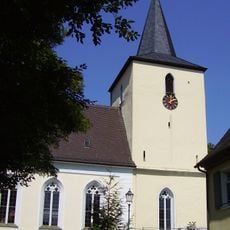
St. Bartholomew (Unterleinleiter)
2.6 km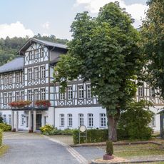
Rathaus
3 km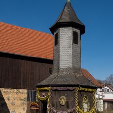
Brunnenhäuschen
2.6 km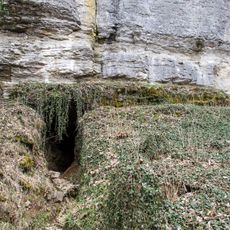
Werkkalkfelswand mit Höhlen bei Streitberg
683 m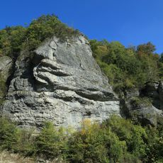
Schwammkalkfelsen Markgrafenstein
610 m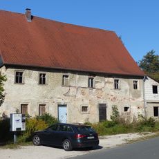
Mühle
1.9 km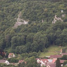
Kalkfelsen am Hummerberg bei Streitberg
378 m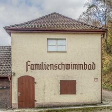
Freibad
558 m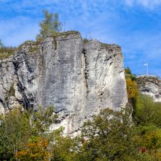
Schwammkalkfelsen Streitburg bei Streitberg
219 m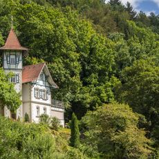
Villa
2.7 km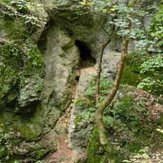
Schwammkalkfelswand mit Höhlen bei Streitberg
633 m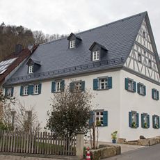
Bauernhaus
114 m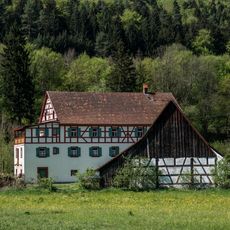
Mühle
1.7 km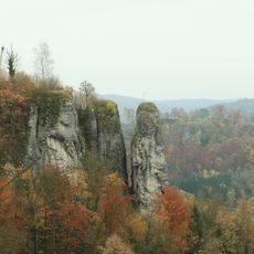
Felsnadel Langenstein
343 m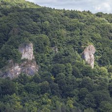
Müllerfelsen
1.3 km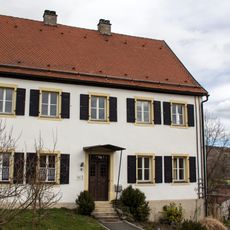
Pfarrhaus
262 m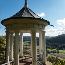
Aussichtspavillon
263 m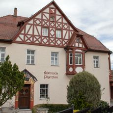
Gasthaus
207 m
Wohn- und Geschäftshaus
3.1 kmVisited this place? Tap the stars to rate it and share your experience / photos with the community! Try now! You can cancel it anytime.
Discover hidden gems everywhere you go!
From secret cafés to breathtaking viewpoints, skip the crowded tourist spots and find places that match your style. Our app makes it easy with voice search, smart filtering, route optimization, and insider tips from travelers worldwide. Download now for the complete mobile experience.

A unique approach to discovering new places❞
— Le Figaro
All the places worth exploring❞
— France Info
A tailor-made excursion in just a few clicks❞
— 20 Minutes