
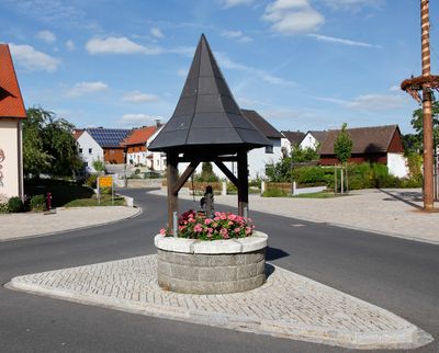
Steinbrunnen, mit hölzernem Zeltdach, 19. Jahrhundert
Location: Poppenricht
Address: in der Ortsmitte
GPS coordinates: 49.47892,11.82582
Latest update: March 3, 2025 03:23

Mariahilf-Berg
4.1 km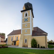
St. Michael
1.6 km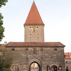
Vilstor
4.1 km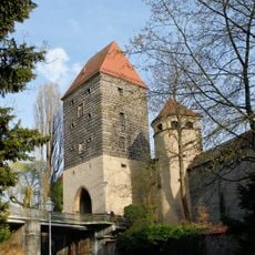
Ziegeltor
4.2 km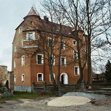
Schloss Neumühle
1.9 km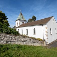
Katholische Pfarrkirche St. Barbara
1.5 km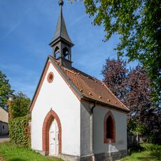
Dorfkapelle Hl. Familie
1.7 km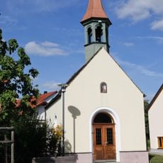
Marienkapelle
37 m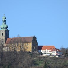
Am Mariahilfberg
3.7 km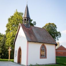
Marienkapelle
1.5 km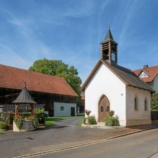
Kapelle Beata Maria Virgo
2.2 km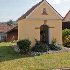
Marienkapelle
130 m
Ehemaliges katholische Schulhaus
1.6 km
Dorfkapelle Mariä Heimsuchung
3 km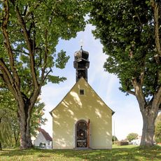
Hofkapelle St. Anna Selbdritt
2.9 km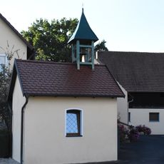
Katholische Marienkapelle
2.3 km
Erzberg
2.6 km
Ehemaliger Edelmannsitz, Teilgebäude des sogenannten Schlösschens
3 km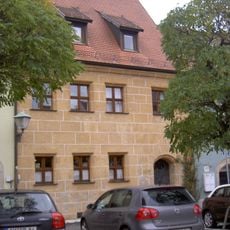
Paradeplatz 14
4.2 km
Sogenanntes Bayerisches Brückl
3.2 km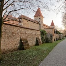
Stadtbefestigung beim Kaiser-Wilhelm-Ring
4.1 km
Max-Joseph-Denkmal
4 km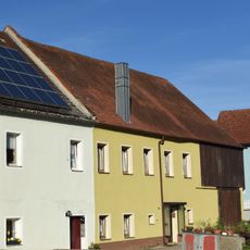
Ehemaliger Edelmannsitz, Teilgebäude des sogenannten Schlösschens
3 km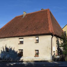
Ehemaliges Gutshaus
3 km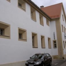
Fronfeste
4.1 km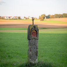
Steinmarterl
3.2 km
Paradeplatz 18
4.2 km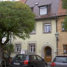
Paradeplatz 16
4.2 kmReviews
Visited this place? Tap the stars to rate it and share your experience / photos with the community! Try now! You can cancel it anytime.
Discover hidden gems everywhere you go!
From secret cafés to breathtaking viewpoints, skip the crowded tourist spots and find places that match your style. Our app makes it easy with voice search, smart filtering, route optimization, and insider tips from travelers worldwide. Download now for the complete mobile experience.

A unique approach to discovering new places❞
— Le Figaro
All the places worth exploring❞
— France Info
A tailor-made excursion in just a few clicks❞
— 20 Minutes