
Hochwasserbehälter, mit granitverkleideter gestufter Eingangsfront und vier Wasserbehältern, ehemals dem Konzentrationslager Flossenbürg zugehörig, bezeichnet „1943“
Location: Flossenbürg
Address: Silberhüttenstraße
GPS coordinates: 49.73732,12.35499
Latest update: April 21, 2025 14:45
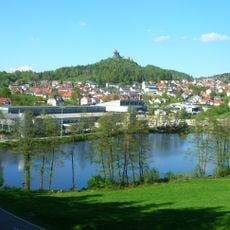
Burgruine Flossenbürg
769 m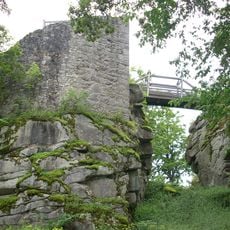
Burgruine Schellenberg
3.2 km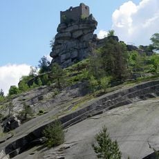
Flossenbürger Granit
844 m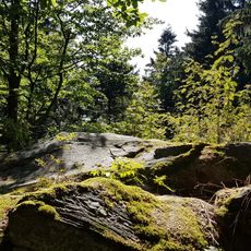
Entenbühl
3.8 km
Havran (rozhledna)
4 km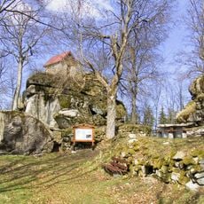
Burgstall Haselstein
2.7 km
Křížový kámen
4.1 km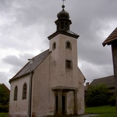
St. Johannes Baptist
2.6 km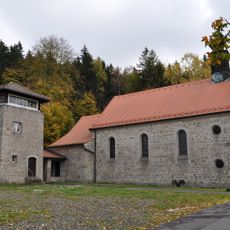
Sühnekapelle Flossenbürg
400 m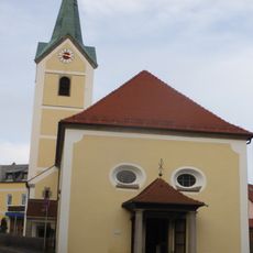
Evangelisch-lutherische Pfarrkirche St. Pankratius
537 m
Pflegschloss Floß
5.6 km
Hammerschloss Neuenhammer
5.4 km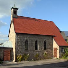
St. Wendelin (Spielberg)
4.4 km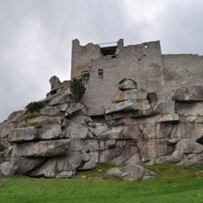
Schlossberg Flossenbürg
748 m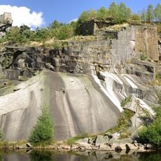
Schloßberg Flossenbürg
866 m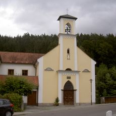
Unsere Liebe Frau
5.4 km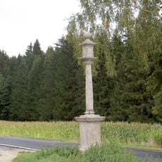
Stiftlandsäule
5 km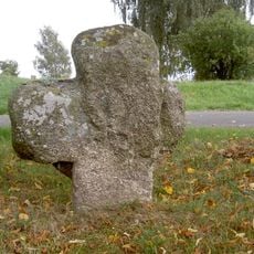
Steinkreuz Plößberger Straße Floß
5 km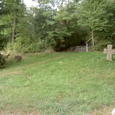
Steinkreuze Nikolausberg Floß
5.6 km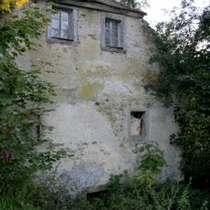
Ehemalige Hammermühle
5.6 km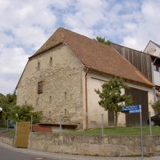
Stadel
5.7 km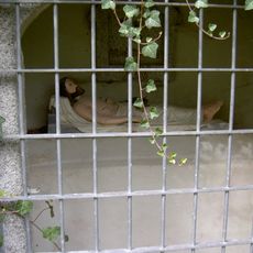
Heiliges Grab Nikolausberg Floß
5.6 km
Serpentinithügel St. Nikolaus bei Floß
5.6 km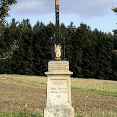
Wegkreuz
4.7 km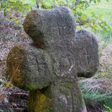
Granitkreuz
4.2 km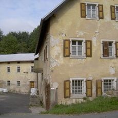
Ehemalige Mühle
5.2 km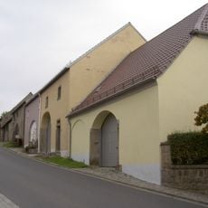
Stadelreihe
5.7 km
Holztür
5.6 kmReviews
Visited this place? Tap the stars to rate it and share your experience / photos with the community! Try now! You can cancel it anytime.
Discover hidden gems everywhere you go!
From secret cafés to breathtaking viewpoints, skip the crowded tourist spots and find places that match your style. Our app makes it easy with voice search, smart filtering, route optimization, and insider tips from travelers worldwide. Download now for the complete mobile experience.

A unique approach to discovering new places❞
— Le Figaro
All the places worth exploring❞
— France Info
A tailor-made excursion in just a few clicks❞
— 20 Minutes