
Ehem. Förderturm, ehem. Förderturm, in Holzständer-Bauweise mit Stülpschalung und flachem Satteldach, nördlich ebenerdiger hölzerner Vorbau mit Satteldach, darin Maschinenhaspel, ca. 1916
Location: Untergriesbach
Address: Aufeld
GPS coordinates: 48.62023,13.67310
Latest update: April 9, 2025 20:10
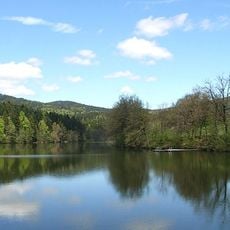
Freudensee
5.4 km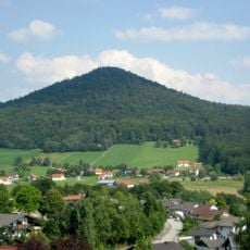
Staffelberg
3.8 km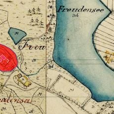
Burg Freudensee
5.6 km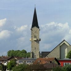
St. Vitus
5.1 km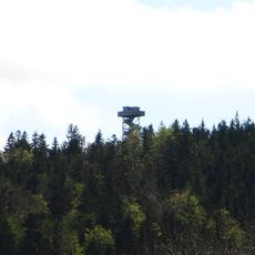
Oberfrauenwald
7.3 km
Kath. Filialkirche hll. Peter und Paul
7.9 km
Pfarrkirche Mariä Himmelfahrt in Obernzell
7.7 km
Burgstall Gastering
7.8 km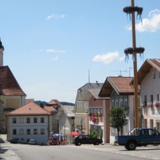
Ensemble Marktplatz/Marktstraße
5.2 km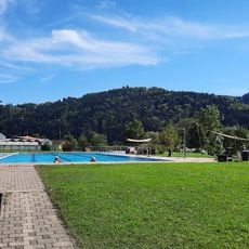
Freibad Obernzell
7.8 km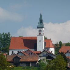
Pfarrkirche Wildenranna
6.3 km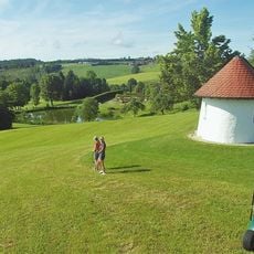
Golfclub Passau Raßbach
8.7 km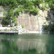
Steinbruch Schachet beim Granitzentrum Hauzenberg
4.9 km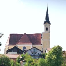
St.Michael in Untergriesbach
5.3 km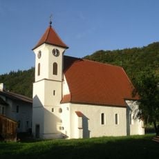
Filialkirche Kasten
8.9 km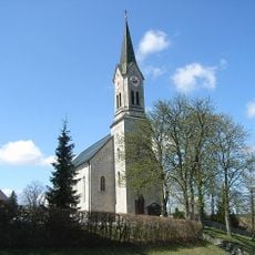
Pfarrkirche Maria Himmelfahrt
8 km
Sieben Schmerzen Mariens
6.3 km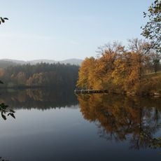
Schutz des Freudensees und von Landschaftsteilen um den Freudensee (LSG Freudensee)
5.6 km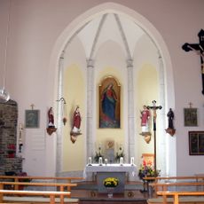
Chapel in Kasberg
7.6 km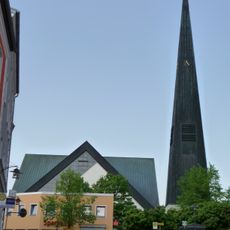
St. Johannes der Täufer
8.6 km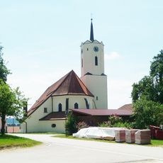
St. Nikolaus parish church
5.7 km
Donauengtal Erlau-Jochenstein
7.2 km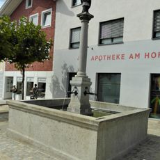
Brunnen mit Figur des hl. Johannes v. Nepomuk
5.2 km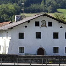
Wohnhaus, ehem. Taverne, Stahrnbergergut
8.9 km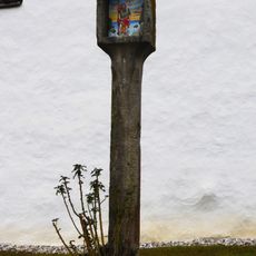
Bildstock
7.9 km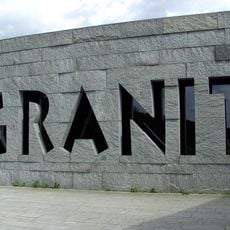
Granitmuseum Bayerischer Wald
4.9 km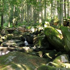
Erlau
7.8 km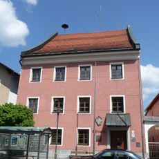
Rathaus, ehemaliges Landgericht
8.7 kmReviews
Visited this place? Tap the stars to rate it and share your experience / photos with the community! Try now! You can cancel it anytime.
Discover hidden gems everywhere you go!
From secret cafés to breathtaking viewpoints, skip the crowded tourist spots and find places that match your style. Our app makes it easy with voice search, smart filtering, route optimization, and insider tips from travelers worldwide. Download now for the complete mobile experience.

A unique approach to discovering new places❞
— Le Figaro
All the places worth exploring❞
— France Info
A tailor-made excursion in just a few clicks❞
— 20 Minutes