
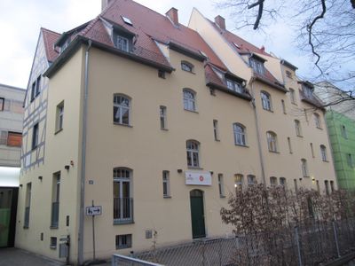
Pillenreuther Straße 147, building in Nuremberg, Middle Franconia, Germany
Location: Nuremberg
Address: Pillenreuther Straße 147
GPS coordinates: 49.43139,11.08710
Latest update: March 3, 2025 00:16

SS-Kaserne
766 m
Gustav-Adolf-Gedächtniskirche
742 m
Hasenbuck
611 m
Petzenschloss
698 m
Adam-Kraft-Realschule
521 m
Jenaplan-Schule Nuremberg
174 m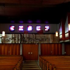
Lutherkirche
606 m
Altenfurt, Moorenbrunn
611 m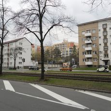
Katzwanger Straße
921 m
Sacred Heart Church
990 m
Pillenreuther Straße 165
178 m
Sperberstraße 77 (Hummelstein)
65 m
Sperberschule
153 m
Sperberstraße 73
70 m
Pflugstraße 10
397 m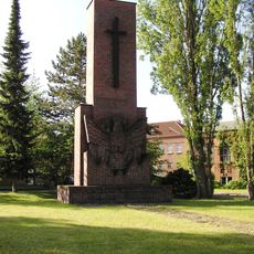
MAN-Kriegerdenkmal
346 m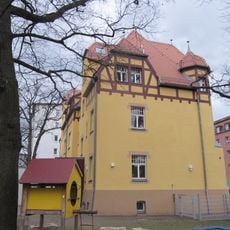
Pillenreuther Straße 143 und 145 (Hummelstein)
26 m
Mietshaus
687 m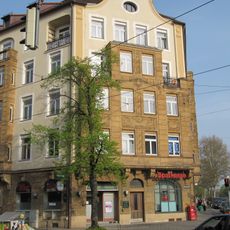
Mietshaus in Ecklage
659 m
Mietshaus
686 m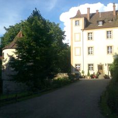
Hummelsteiner Schlösschen
278 m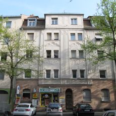
Mietshaus
458 m
Kleestraße 16
478 m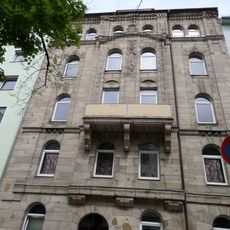
Humboldtstraße 87 (D-5-64-000-835)
974 m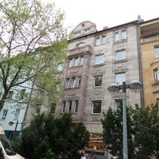
Kopernikusplatz 16 (D-5-64-000-1085)
988 m
Ehemaliges Lager- und Verwaltungsgebäude der Mechanischen Wollwarenfabrik Lichtenhof
897 m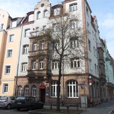
Mietshaus in Ecklage
891 m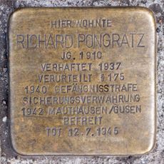
Stolperstein dedicated to Richard Pongratz
660 mVisited this place? Tap the stars to rate it and share your experience / photos with the community! Try now! You can cancel it anytime.
Discover hidden gems everywhere you go!
From secret cafés to breathtaking viewpoints, skip the crowded tourist spots and find places that match your style. Our app makes it easy with voice search, smart filtering, route optimization, and insider tips from travelers worldwide. Download now for the complete mobile experience.

A unique approach to discovering new places❞
— Le Figaro
All the places worth exploring❞
— France Info
A tailor-made excursion in just a few clicks❞
— 20 Minutes