
NSG Pähler Schlucht, nature reserve in Bavaria, Germany
Location: Pähl
Inception: 1983
GPS coordinates: 47.91031,11.18581
Latest update: March 14, 2025 16:59
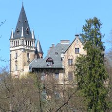
Castle Pähl
175 m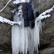
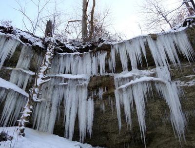
Pähler Schlucht
1 m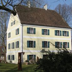
Unteres Schloss
931 m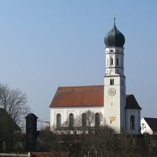
St. Laurentius (Pähl)
778 m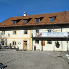
Kupfermuseum
3 km
Schollenmoos
3.3 km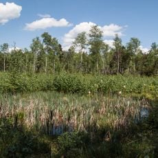
Flachtenbergmoor
2.4 km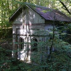
Wasserhaus Pähl
222 m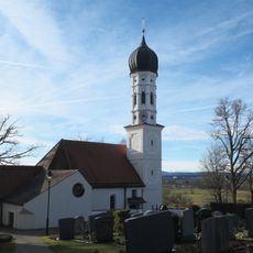
St. Pankratius (Mitterfischen)
3.6 km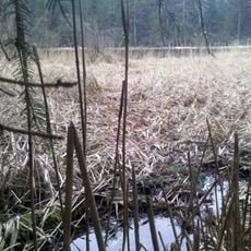
Filzweiher
3.4 km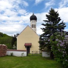
Kirche St. Martin
2.6 km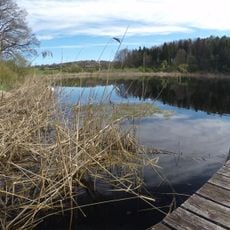
Schutz des Hirschberges, des Kerschlacher Forstes und der anschließenden Moränenlandschaft, Gemeinde Pähl
918 m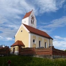
St. Margareth
3.9 km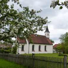
St. Ulrich
1.7 km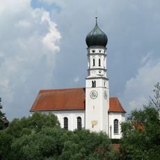
Katholische Pfarrkirche St. Laurentius
778 m
Hartkapelle
2.8 km
Maria Hilf
3 km
Ortsschild
2.5 km
Schloss Rößlberg
2.3 km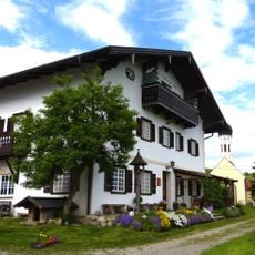
Gutshaus
2.6 km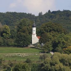
St. Pankratius
3.6 km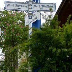
Wegweiser
2.5 km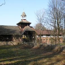
Gutshof
303 m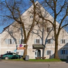
Mühle
918 m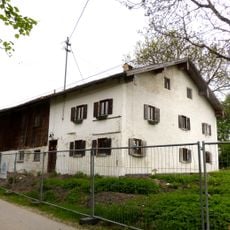
Bauernhaus
1.6 km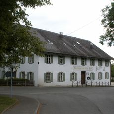
Gasthof zur alten Post
960 m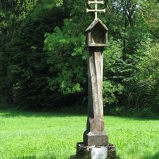
Heseloher Säule
2.1 km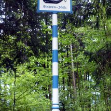
Hinweisschild „Einhemm-Stelle“
2.9 kmVisited this place? Tap the stars to rate it and share your experience / photos with the community! Try now! You can cancel it anytime.
Discover hidden gems everywhere you go!
From secret cafés to breathtaking viewpoints, skip the crowded tourist spots and find places that match your style. Our app makes it easy with voice search, smart filtering, route optimization, and insider tips from travelers worldwide. Download now for the complete mobile experience.

A unique approach to discovering new places❞
— Le Figaro
All the places worth exploring❞
— France Info
A tailor-made excursion in just a few clicks❞
— 20 Minutes