
Sesselfelsen-Wand bei Neuessing, Felswand im Landkreis Kelheim in Bayern
Location: Essing
Elevation above the sea: 400 m
Length: 370 m
Width: 100 m
GPS coordinates: 48.93610,11.78897
Latest update: March 4, 2025 12:27

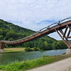
Wooden bridge at Essing
262 m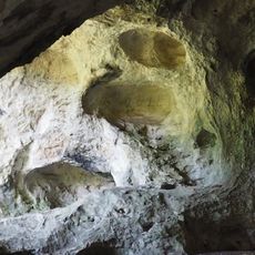
Klausenhöhle
356 m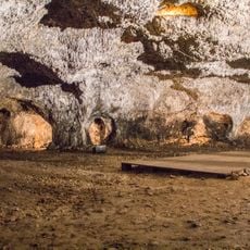
Schulerloch
2.5 km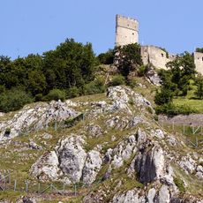
Burg Randeck
198 m
Kollegiatstift Heilig Geist, Neuessing
192 m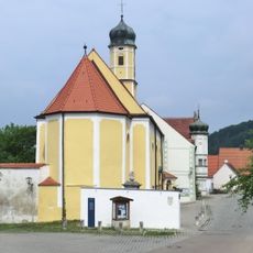
Heiligen-Geist-Kirche
212 m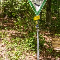
Schulerloch
2.5 km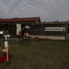
Donausternwarte
3.1 km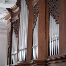
St. Martin
1.5 km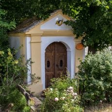
Wegkapelle
912 m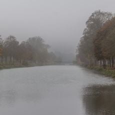
Erdbauten des Ludwig-Donau-Main-Kanals #02
1.9 km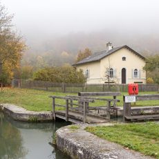
Schleuse 4 des Ludwig-Donau-Main-Kanals
2.2 km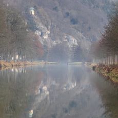
Abschnitt des Ludwig-Donau-Main-Kanals #02
1.9 km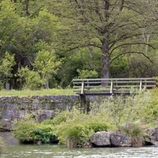
Schleuse 5 des Ludwig-Donau-Main-Kanals
2.6 km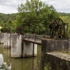
Abschnitt des Ludwig-Donau-Main-Kanals #03
2.5 km
Erdbauten des Ludwig-Donau-Main-Kanals #03
2.6 km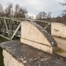
Eisenbrücke an der Schleuse 4
2.3 km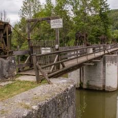
Altmühl-Stauwehr Kastlhof
2.5 km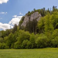
Mayfelsen bei Essing
786 m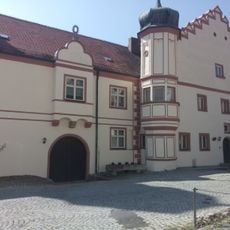
Pfarrhof, ehemaliges Stiftskapitelhaus
178 m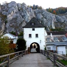
Torturm
84 m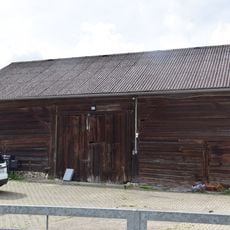
Zugehöriger Stadel
3.5 km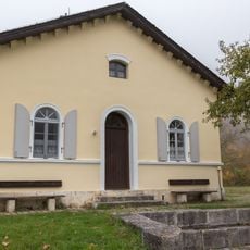
Schleusenwärterhaus Schleuse 04
2.2 km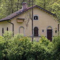
Schleusenwärterhaus Schleuse 05
2.6 km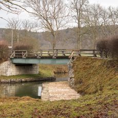
Strassenbrücke Schellneck
1.7 km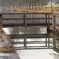
Holzsteg an der Schleuse 4
2.2 km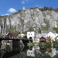
Pfeilerbrücke
110 m
Pavillon Tempel der Natur
2.5 kmReviews
Visited this place? Tap the stars to rate it and share your experience / photos with the community! Try now! You can cancel it anytime.
Discover hidden gems everywhere you go!
From secret cafés to breathtaking viewpoints, skip the crowded tourist spots and find places that match your style. Our app makes it easy with voice search, smart filtering, route optimization, and insider tips from travelers worldwide. Download now for the complete mobile experience.

A unique approach to discovering new places❞
— Le Figaro
All the places worth exploring❞
— France Info
A tailor-made excursion in just a few clicks❞
— 20 Minutes