
Luginsland-Felsen E von Fichtelberg, Geotop in Landkreis Bayreuth in Bavaria, Germany
Location: Fichtelberg
Elevation above the sea: 751 m
Length: 20 m
Width: 10 m
Website: http://www.umweltatlas.bayern.de/mapapps/resources/reports/geotope/generateBericht.pdf?additionallayerfieldvalue=472R009
GPS coordinates: 50.00637,11.85972
Latest update: June 13, 2025 09:24
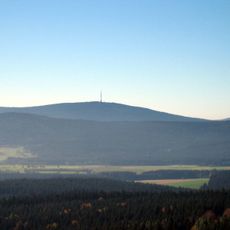
Ochsenkopf
4.5 km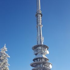
Ochsenkopf Transmitter
4.5 km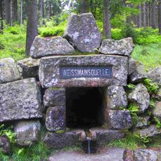
White Main Spring
3.7 km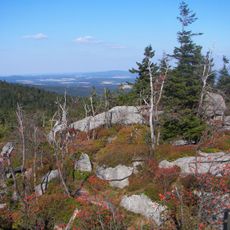
Nußhardt
3.9 km
Ochsenkopf South Chairlift
3.7 km
Besucherbergwerk Gleißinger Fels
1.6 km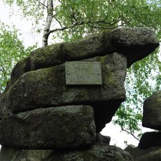
Platte
2.6 km
Naturwaldreservat Fichtelseemoor
1.3 km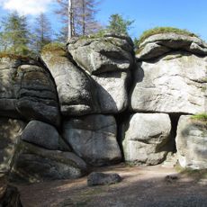
Weißmainfelsen
3.3 km
Seehügel
3.1 km
Ahornfels
2.6 km
Hahnenfilz bei Mehlmeisel
4.3 km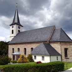
Mariä Verkündigung
758 m
Besucherbergwerk Gleissinger Fels
1.6 km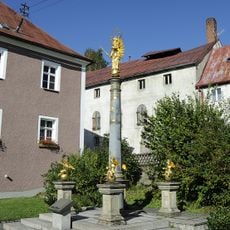
Mariensäule
702 m
Natumoorbad Fleckl
4.4 km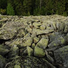
Blockmeer am Gipfel der Platte WNW von Tröstau
2.6 km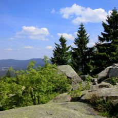
Plattengipfel
2.6 km
Jean-Paul-Brunnen
2 km
Nußhardt
3.8 km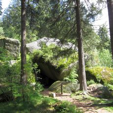
Girgelhöhle NW von Nagel
3.8 km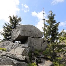
Goethefelsen am Ochsenkopf
4.3 km
Station 28 Ochsenkopf
4.5 km
Fichtelseemoor
1.5 km
Schneeberggebiet und Goldkronacher / Sophientaler Forst
1.9 km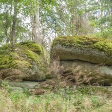
Brand- und Feuerherd-Felsen NNW von Neubau
2.7 km
Nußhardt-Gipfel SE von Bischofsgrün
3.9 km
Schneebergmassiv mit Fichtelseemoor
4.1 kmReviews
Visited this place? Tap the stars to rate it and share your experience / photos with the community! Try now! You can cancel it anytime.
Discover hidden gems everywhere you go!
From secret cafés to breathtaking viewpoints, skip the crowded tourist spots and find places that match your style. Our app makes it easy with voice search, smart filtering, route optimization, and insider tips from travelers worldwide. Download now for the complete mobile experience.

A unique approach to discovering new places❞
— Le Figaro
All the places worth exploring❞
— France Info
A tailor-made excursion in just a few clicks❞
— 20 Minutes