Galgenberg bei Regenstauf, Geotop in Landkreis Regensburg in Bavaria, Germany
Location: Regenstauf
Elevation above the sea: 380 m
Length: 150 m
Width: 150 m
Website: http://www.umweltatlas.bayern.de/mapapps/resources/reports/geotope/generateBericht.pdf?additionallayerfieldvalue=375R007
GPS coordinates: 49.11149,12.12921
Latest update: March 19, 2025 08:22
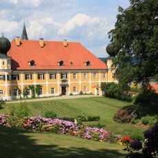
Schloss Ramspau
4.9 km
Burgstall Regenstauf
1.7 km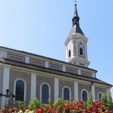
Pfarrkirche St. Jakobus
1.3 km
Ehem. Adelssitz
1.2 km
St. Johannes Evangelist
2.3 km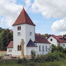
Heilige Dreifaltigkeit
2.6 km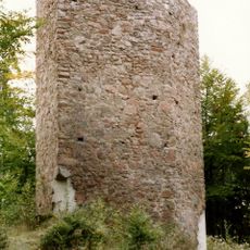
Burg Ramspau
4.8 km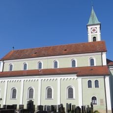
St. Bartholomäus (Zeitlarn)
4.3 km
Unteres Schloss
1.7 km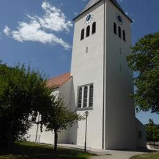
Pfarrkuratiekirche St. Michael
4.7 km
Burgstall Stadel
4.5 km
Gasthof
4.7 km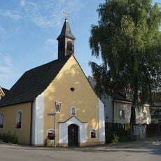
Kapelle zum Gegeißelten Heiland
4.5 km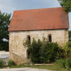
Profanierte Kirche des ehem. Gutshofes
3.4 km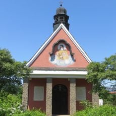
Kapelle St. Theresia
1.4 km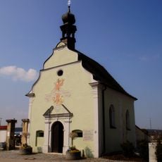
St. Sebastian (Regenstauf)
1 km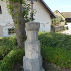
Marterl
4.6 km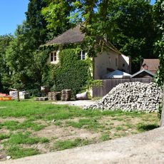
Gärtnerhaus Waldheimstraße 8 in Zeitlarn
2.6 km
Wohnhaus des ehem. Gutshofes
4.2 km
Kriegerdenkmal Nähe Faber-Castell-Straße in Zeitlarn
2.6 km
Stallstadel Nähe Faber-Castell-Straße in Zeitlarn
2.7 km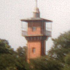
Aussichtsturm
1.7 km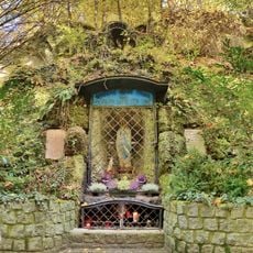
Lourdesgrotte mit Marienfigur
1.7 km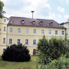
Schloss Regendorf
2.6 km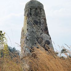
Bayrischer Stundenstein
4.1 km
Figur
4.7 km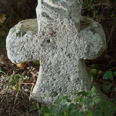
Steinkreuz
4.7 km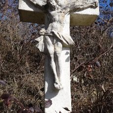
Wegkreuz
4.5 kmReviews
Visited this place? Tap the stars to rate it and share your experience / photos with the community! Try now! You can cancel it anytime.
Discover hidden gems everywhere you go!
From secret cafés to breathtaking viewpoints, skip the crowded tourist spots and find places that match your style. Our app makes it easy with voice search, smart filtering, route optimization, and insider tips from travelers worldwide. Download now for the complete mobile experience.

A unique approach to discovering new places❞
— Le Figaro
All the places worth exploring❞
— France Info
A tailor-made excursion in just a few clicks❞
— 20 Minutes