
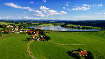
Untere Iller bei Kardorf, protected landscape in Bavaria, Germany
Location: Memmingen
Inception: 1983
GPS coordinates: 47.92049,10.11532
Latest update: March 4, 2025 13:47
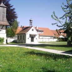
Schwäbisches Bauernhofmuseum Illerbeuren
2.1 km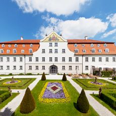
Schloss Lautrach
2.6 km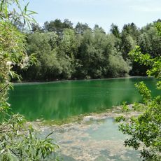
Kiesgrube Aitrach
2.6 km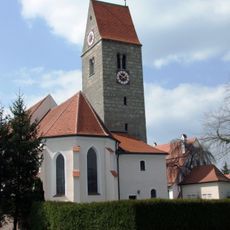
Mariä Himmelfahrt (Illerbeuren)
2.2 km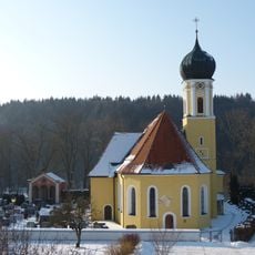
St. Peter und Paul (Lautrach)
2.8 km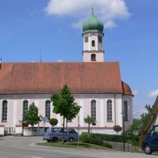
St. Gordianus und Epimachus (Aitrach)
3 km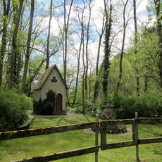
Fatimakapelle (Aitrach)
2.6 km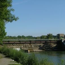
Illerstaustufe 8 – Lautrach
443 m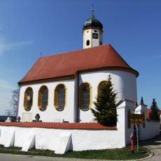
St. Nikolaus
516 m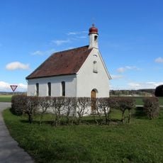
Hofkapelle Schlecht
2.4 km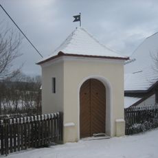
St. Johannes von Nepomuk
2.3 km
St. Sebastian (Greuth)
1.5 km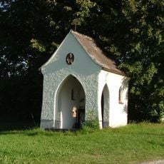
Bruder-Konrad-Kapelle
2.3 km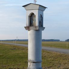
Bildstock
2.9 km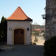
Friedhofskapelle
2.2 km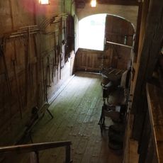
Ehemaliges Kleinbauern- und Handwerkerhaus
2.1 km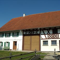
Ehemaliges Bauernhaus
2.1 km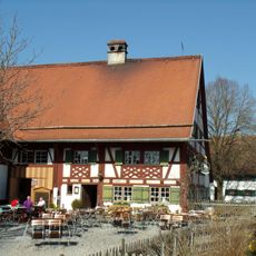
Ehemaliges Bauernhaus
2.1 km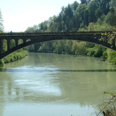
Ehemalige Eisenbahnbrücke über die Iller
2.5 km
Deybachstraße 19-21, Lautrach
2.4 km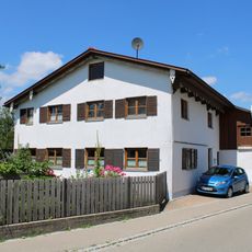
Deybachstraße 3, Lautrach
2.5 km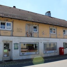
Einsteinstraße 2, Lautrach
2.6 km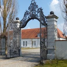
Anlageteil
2.6 km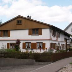
Ehemaliges Bauernhaus
2.6 km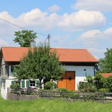
Burggäßle 3, Lautrach
2.4 km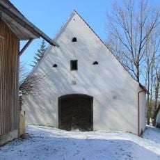
Zehentstadel
499 m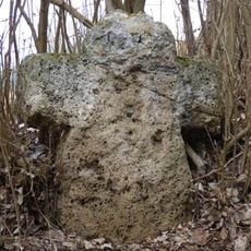
Sühnekreuz
666 m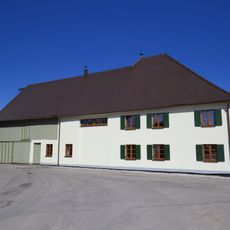
Bauernhaus
2.3 kmVisited this place? Tap the stars to rate it and share your experience / photos with the community! Try now! You can cancel it anytime.
Discover hidden gems everywhere you go!
From secret cafés to breathtaking viewpoints, skip the crowded tourist spots and find places that match your style. Our app makes it easy with voice search, smart filtering, route optimization, and insider tips from travelers worldwide. Download now for the complete mobile experience.

A unique approach to discovering new places❞
— Le Figaro
All the places worth exploring❞
— France Info
A tailor-made excursion in just a few clicks❞
— 20 Minutes