
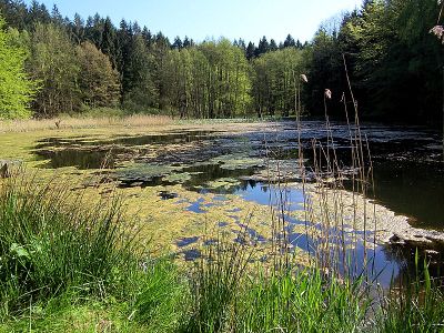
Hütter Wohld und Kleingewässerlandschaft westlich Hanstorf, protected area in the European Union defined by the habitats directive in Mecklenburg-Vorpommern, Germany
Location: Bad Doberan
Location: Hohenfelde
Location: Satow
Location: Bartenshagen-Parkentin
Inception: 2004
GPS coordinates: 54.05924,11.93997
Latest update: March 5, 2025 23:43
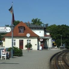
Bad Doberan railway station
5.1 km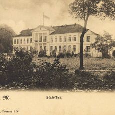
Stahlbad
5.3 km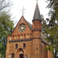
Kapelle Althof
3.1 km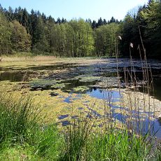
Hütter Klosterteiche
1.5 km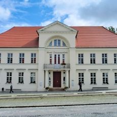
Prinzenpalais
5.5 km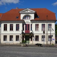
God's Peace House
5.6 km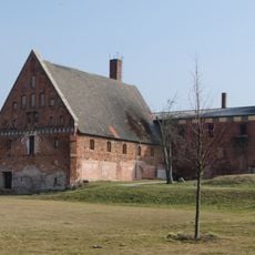
Wirtschaftsgebäude
5.6 km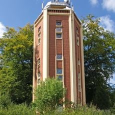
Wasserturm Bad Doberan
5.6 km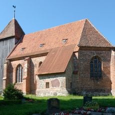
Church in Retschow
4.6 km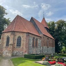
Dorfkirche Hanstorf
1.9 km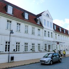
Logierhaus
5.7 km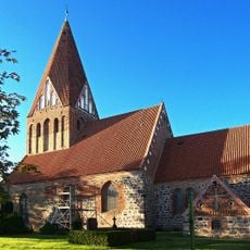
Church in Parkentin
3.3 km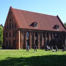
Kornhaus (Bad Doberan)
5.6 km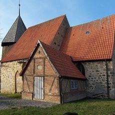
Church in Heiligenhagen
5.5 km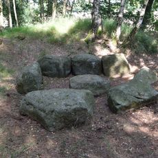
Großsteingrab Bollbrücke
2.3 km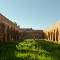
Klosterscheune Althof
3.3 km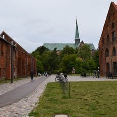
Bad Doberan monastery ground
5.7 km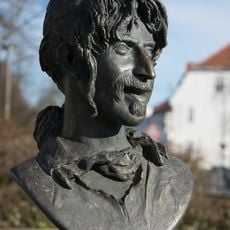
Frank Zappa
5.6 km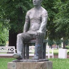
The Milker
5.7 km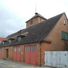
Fire station Bad Doberan
5.6 km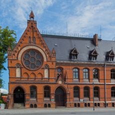
Hauptgebäude des Friderico-Francisceums
5.6 km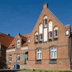
Herrenhaus Althof
3.2 km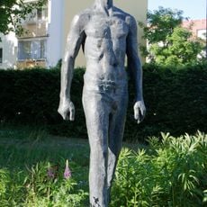
Schreitender
5.1 km
Dr.-Leber-Straße 16
5.7 km
Kirche St.Marien - St. Bernhard
4.8 km
Am Mühlenteich 1
5.4 km
Am Kamp 12
5.7 km
Mollistraße 22
5.7 kmReviews
Visited this place? Tap the stars to rate it and share your experience / photos with the community! Try now! You can cancel it anytime.
Discover hidden gems everywhere you go!
From secret cafés to breathtaking viewpoints, skip the crowded tourist spots and find places that match your style. Our app makes it easy with voice search, smart filtering, route optimization, and insider tips from travelers worldwide. Download now for the complete mobile experience.

A unique approach to discovering new places❞
— Le Figaro
All the places worth exploring❞
— France Info
A tailor-made excursion in just a few clicks❞
— 20 Minutes