
Parks in Oberneuland, protected area in the European Union defined by the habitats directive in Hansestadt Bremen, Germany
Location: Bremen
Inception: 2004
GPS coordinates: 53.09323,8.93029
Latest update: March 21, 2025 06:40
Gut Hodenberg
988 m
Lür-Kropp-Hof
532 m
Höpkensruh
606 m
St. Johann
553 m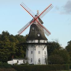
Mühle Oberneuland
854 m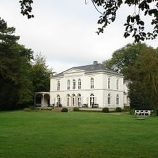
Landsitz Caesar-Ichon
157 m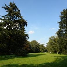
Muhles Park
606 m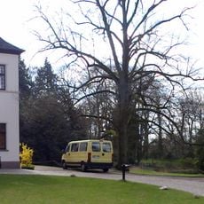
Landsitz Hasse
1 km
Gaststätte Meyer am Boom
1.1 km
Landhaus Waldthausen
979 m
Landhaus Böving
267 m
Haus Hoogenkamp
645 m
Haus Schumacher
314 m
Wohnhaus Lindenweg 12
256 m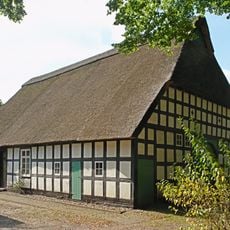
Brinksitzerhaus
831 m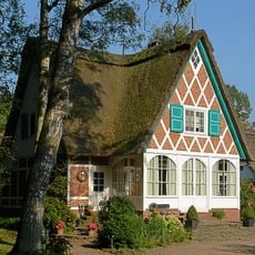
Oberneulander Landstraße 141A
1 km
Muhles Park, Höpkensruh
573 m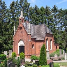
Friedhofskapelle Oberneulander Landstraße 37
522 m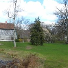
Hasses Park
1.1 km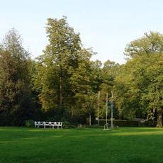
Park Ichon
119 m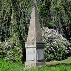
Linnaeus-Obelisk
490 m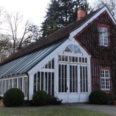
Orangerie (Bremen)
1 km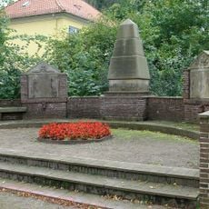
Ehrenmal Oberneulander Landstraße 37
575 m
Landhaus Caesar-Ichon
86 m
Gutshaus Hodenberg
989 m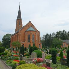
St. Johann
545 m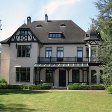
Landhaus Hasse
1 km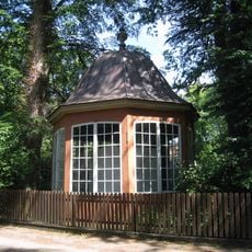
Gartenpavillon Oberneulander Landstraße 27
816 mReviews
Visited this place? Tap the stars to rate it and share your experience / photos with the community! Try now! You can cancel it anytime.
Discover hidden gems everywhere you go!
From secret cafés to breathtaking viewpoints, skip the crowded tourist spots and find places that match your style. Our app makes it easy with voice search, smart filtering, route optimization, and insider tips from travelers worldwide. Download now for the complete mobile experience.

A unique approach to discovering new places❞
— Le Figaro
All the places worth exploring❞
— France Info
A tailor-made excursion in just a few clicks❞
— 20 Minutes