
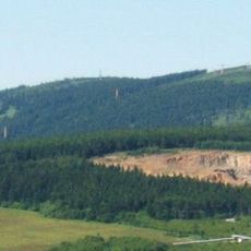
Großes Mittweidatal, protected area in the European Union defined by the habitats directive in Sachsen, Germany
Location: Crottendorf
Location: Sehmatal
Location: Oberwiesenthal
Inception: 2002
GPS coordinates: 50.44732,12.91856
Latest update: April 16, 2025 15:05
Fichtelberg
3.3 km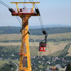
Fichtelberg Cable Car
3.3 km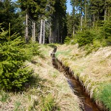
Blatenský vodní příkop
4 km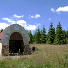
Ježíškova cesta
3.4 km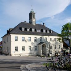
Town hall in Boží Dar
4.1 km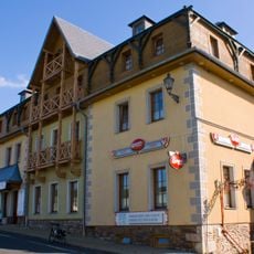
Hotel Praha
4.3 km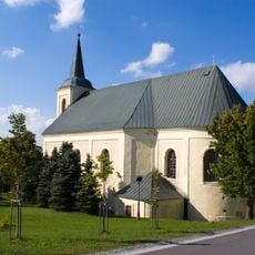
Church of Saint Anne in Boží Dar
4.2 km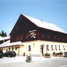
Neues Haus
4.1 km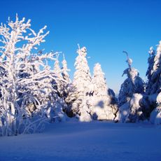
Fichtelberg
3.8 km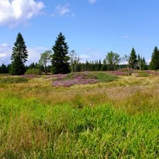
Sejpy rudného dolu
4 km
Muzeum Boží Dar
4.1 km
Am Taufichtig
1.6 km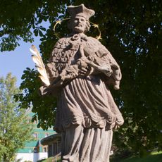
Statue of John of Nepomuk in Boží Dar
4.3 km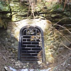
Rudný důl – skarnový revír Zlatý kopec
3.9 km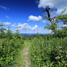
Fichtelberg
3.2 km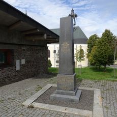
Památník Franze Tippmanna v Božím Daru
4.3 km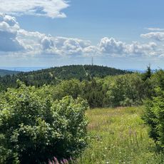
Kleiner Fichtelberg
3.6 km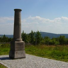
Station 15 Fichtelberg
3.3 km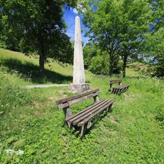
Polish-Saxon Post Milestone in Oberwiesenthal Zechengrund
4.3 km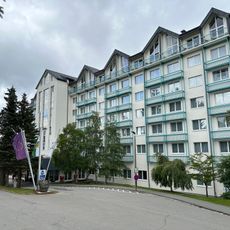
Best Western Ahorn Hotel Oberwiesenthal – Adults Only
4.4 km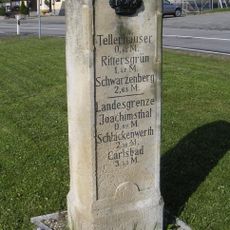
Royal Saxon milestone in Oberwiesenthal
4.1 km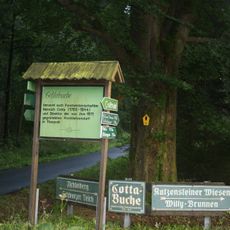
Cottabuche
4.1 km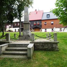
Pomník padlým na náměstí v Božím Daru
4 km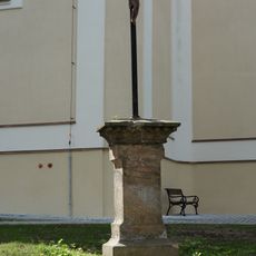
Pamětní kříž u kostela v Božím Daru
4.2 km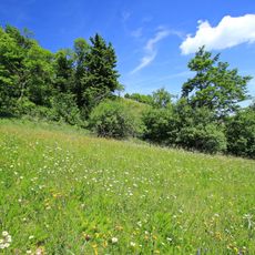
Fichtelbergwiesen
3.9 km
Kašna v západní části náměstí v Božím Daru
4 km
Johannes Mine
3.7 km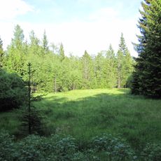
Hochmoorrest Siebensäure
3.7 kmReviews
Visited this place? Tap the stars to rate it and share your experience / photos with the community! Try now! You can cancel it anytime.
Discover hidden gems everywhere you go!
From secret cafés to breathtaking viewpoints, skip the crowded tourist spots and find places that match your style. Our app makes it easy with voice search, smart filtering, route optimization, and insider tips from travelers worldwide. Download now for the complete mobile experience.

A unique approach to discovering new places❞
— Le Figaro
All the places worth exploring❞
— France Info
A tailor-made excursion in just a few clicks❞
— 20 Minutes