
Wiesen um Halbmeil und Breitenbrunn, protected area in the European Union defined by the habitats directive in Sachsen, Germany
Location: Breitenbrunn/Erzgebirge
Inception: 2002
GPS coordinates: 50.44982,12.79093
Latest update: September 24, 2025 23:39

Rabenberg
2.6 km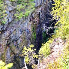
Zuzana mine
4.6 km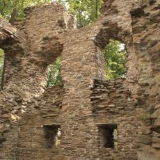
Jagdhaus Breitenbrunn
3.2 km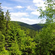
Přírodní park Zlatý kopec
4 km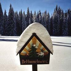
Himmelswiese
423 m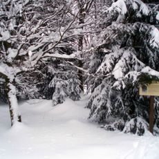
Preißhausbuche
1.5 km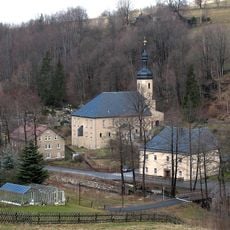
Kirche Rittersgrün
3.4 km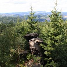
Ochsenkopf bei Rittersgrün
3.9 km
Kobaltový mlýn
3.9 km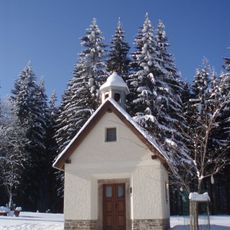
Chapel of Saint John of Nepomuk
2 km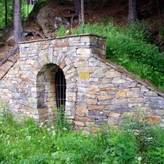
Friedrich August Stolln
4.3 km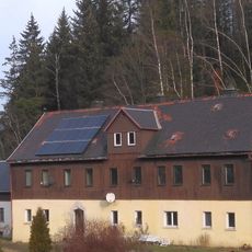
Felshaus
4.4 km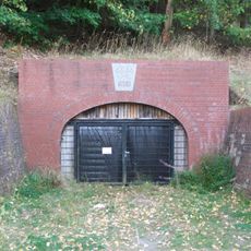
Neujahr-Stolln
4.8 km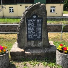
Denkmal für die Gefallenen des Ersten Weltkrieges Wittigsthalstraße 19 21 (vor)
4.7 km
Böhmische Mühle
2.3 km
Halbmeiler Wiesen
2.1 km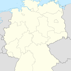
Fritzschhennerhöhle
4.8 km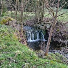
Rudný důl – revír Hrazený potok – Zlatý kopec
4 km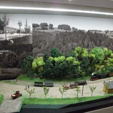
Sächsisches Schmalspurbahn-Museum Rittersgrün e.V.
3.2 km
Wettinbrunnen
4 km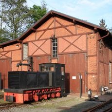
Bahnhof Oberrittersgrün
2.8 km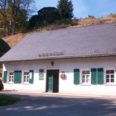
Frisch Glück Fundgrube
4.7 km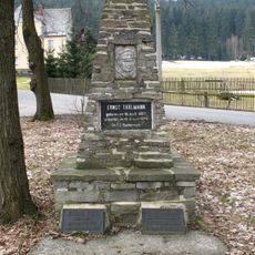
Gedenkstein für Opfer des Faschismus Halbemeiler Weg -
2.1 km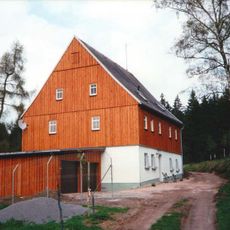
Ehemaliges Forsthaus Alt Rabenberg 1
4.6 km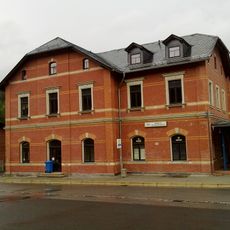
Bahnhof Johanngeorgenstadt
4.6 km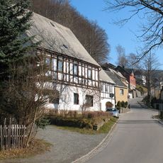
Zwei aneinander gebaute Wohnhäuser Kirchstraße 10; 11
2.9 km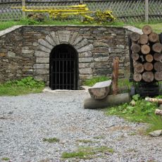
Mundloch des Besucherbergwerk St. Christoph Schachtstraße 63 (bei)
4.2 km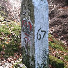
Zwei Grenzsteine (Nr. 8 und 9)
4.3 kmReviews
Visited this place? Tap the stars to rate it and share your experience / photos with the community! Try now! You can cancel it anytime.
Discover hidden gems everywhere you go!
From secret cafés to breathtaking viewpoints, skip the crowded tourist spots and find places that match your style. Our app makes it easy with voice search, smart filtering, route optimization, and insider tips from travelers worldwide. Download now for the complete mobile experience.

A unique approach to discovering new places❞
— Le Figaro
All the places worth exploring❞
— France Info
A tailor-made excursion in just a few clicks❞
— 20 Minutes