
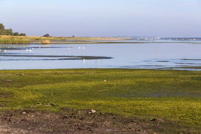
Greifswalder Bodden, Teile des Strelasundes und Nordspitze Usedom
Greifswalder Bodden, Teile des Strelasundes und Nordspitze Usedom, protected area in the European Union defined by the habitats directive in Mecklenburg-Vorpommern, Germany
Location: Vorpommern-Rügen District
Inception: 2004
GPS coordinates: 54.21821,13.48946
Latest update: March 8, 2025 11:14
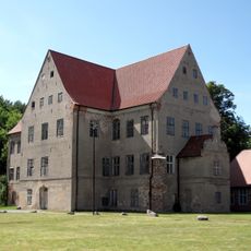
Schloss Ludwigsburg (Vorpommern)
12.5 km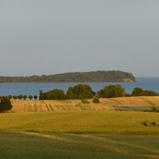
Southeast Rügen Biosphere Reserve
6.8 km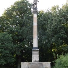
Prussia Columns
11.4 km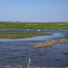
Insel Koos, Kooser See und Wampener Riff
8.5 km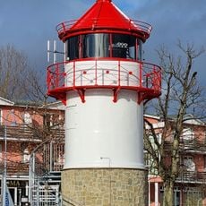
Leuchtturm Lauterbach
13.9 km
Insel Vilm
11.9 km
Teufelsstein bei Lubmin
11.5 km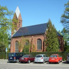
Bugenhagenkirche (Greifswald-Wieck)
13.8 km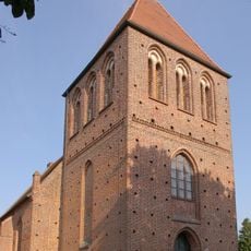
St. Petri-Kirche
13.8 km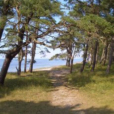
Lanken
10.9 km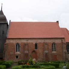
St. Laurentius (Zudar)
10 km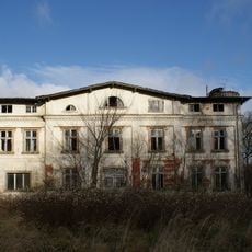
Manor house in Neparmitz
13.9 km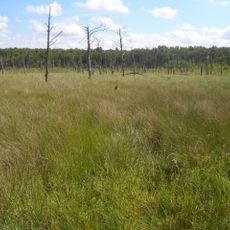
Kieshofer Moor
13.9 km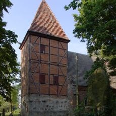
St.-Stephanus-Kirche
13.3 km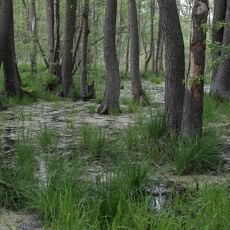
Ladebower Moor
12.6 km
Dorfkirche Neuenkirchen
13.3 km
Church in Gristow
11.4 km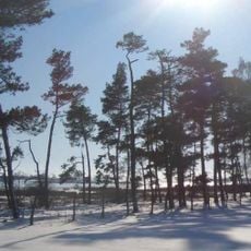
Schoritzer Wiek
8.6 km
Halbinsel Fahrenbrink
10.9 km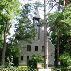
Petrikirche (Lubmin)
12.5 km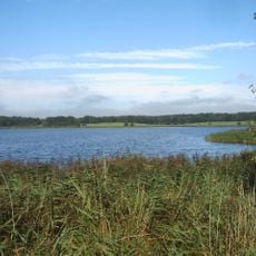
Wreechener See Nature Reserve
12.7 km
Vilmer Kapelle
12.3 km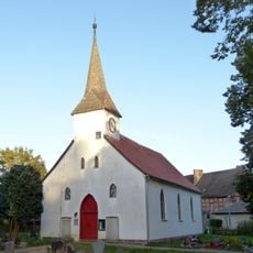
Church in Ludwigsburg
12.5 km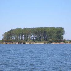
Vogelhaken Glewitz
13.3 km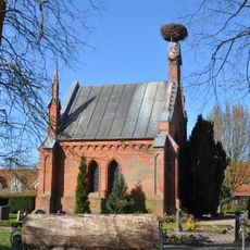
Mausoleum Ludwigsburg
12.5 km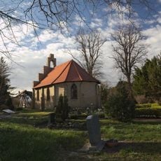
Kapelle Stahlbrode
13.4 km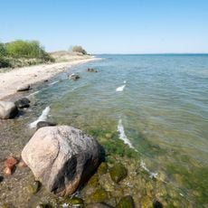
Südwest-Rügen-Zudar
13.6 km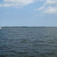
Greifswalder Bodden
7.6 kmVisited this place? Tap the stars to rate it and share your experience / photos with the community! Try now! You can cancel it anytime.
Discover hidden gems everywhere you go!
From secret cafés to breathtaking viewpoints, skip the crowded tourist spots and find places that match your style. Our app makes it easy with voice search, smart filtering, route optimization, and insider tips from travelers worldwide. Download now for the complete mobile experience.

A unique approach to discovering new places❞
— Le Figaro
All the places worth exploring❞
— France Info
A tailor-made excursion in just a few clicks❞
— 20 Minutes