
Woogbachtal, protected area in the European Union defined by the habitats directive in Saarland, Germany
Location: Saarbrücken
Inception: 1999
GPS coordinates: 49.23424,7.10069
Latest update: April 22, 2025 04:20
Stiefel
2.6 km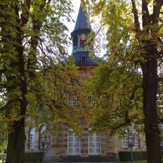
Evangelische Kirche
3 km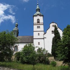
St. Peter
3.5 km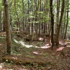
Stiefeler Schloss
2.4 km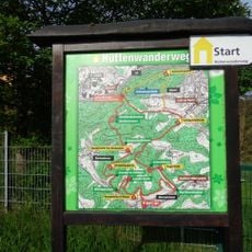
Hüttenwanderweg
3.4 km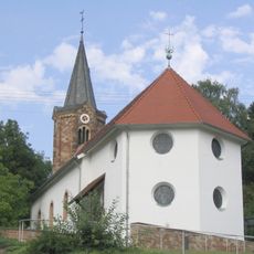
Evangelische Kirche Scheidt
3.2 km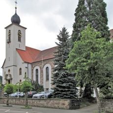
Herz-Jesu-Kirche
3.3 km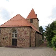
St. Josef
2.9 km
Oberwürzbach-Hirschental
2.3 km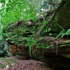
Schindtaler Felsen
2.8 km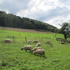
Wisch- und Wogbachtal
763 m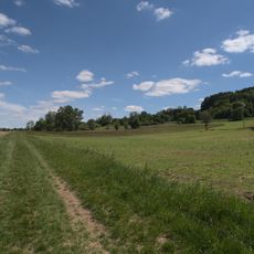
Beierwies
2.7 km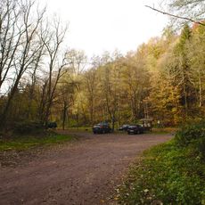
Ensheim Wells Path
931 m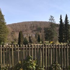
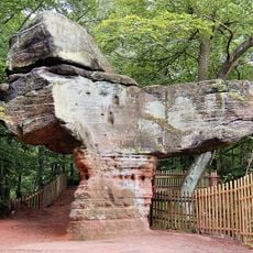
Kleiner Stiefel
2 km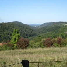
Grumbachtal
2.3 km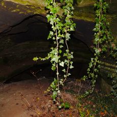
Bat cave
3.2 km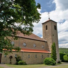
Church of the Holy Family
3.2 km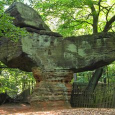
Großer Stiefel
2.5 km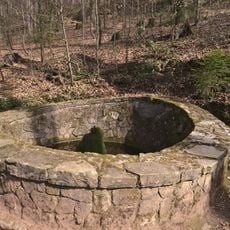
Martin Sprengard Brunnen
3.3 km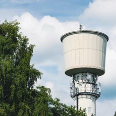
Water tower
3.3 km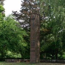
War memorial
3.3 km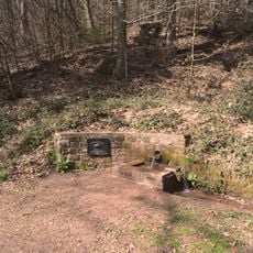
Brunnen im Saulager
3.1 km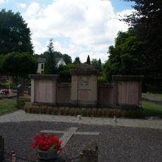
War Memorial
3.2 km
Landschaftsschutzgebiet L 6.03.03
2.8 km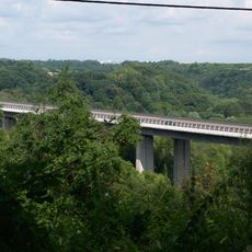
Valley bridge
3.2 km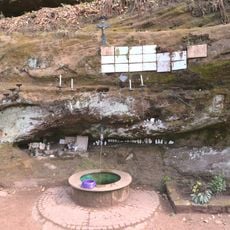
Lourdesgrotte im Langental
3.3 km
Ochselbrunnen
3.2 km
Alte Ölmühle
3 kmReviews
Visited this place? Tap the stars to rate it and share your experience / photos with the community! Try now! You can cancel it anytime.
Discover hidden gems everywhere you go!
From secret cafés to breathtaking viewpoints, skip the crowded tourist spots and find places that match your style. Our app makes it easy with voice search, smart filtering, route optimization, and insider tips from travelers worldwide. Download now for the complete mobile experience.

A unique approach to discovering new places❞
— Le Figaro
All the places worth exploring❞
— France Info
A tailor-made excursion in just a few clicks❞
— 20 Minutes