
Müncheberg, protected area in the European Union defined by the habitats directive in Brandenburg, Germany
Location: Müncheberg
Inception: 2000
GPS coordinates: 52.50879,14.13565
Latest update: April 15, 2025 23:04
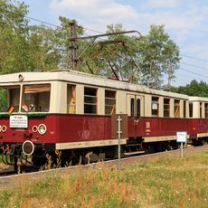
Buckower Kleinbahn
3 km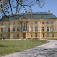
Schloss Trebnitz
6.3 km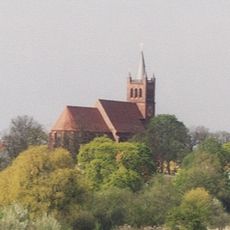
Stadtpfarrkirche St. Marien (Müncheberg)
862 m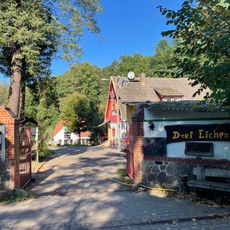
Dreieichen
6.6 km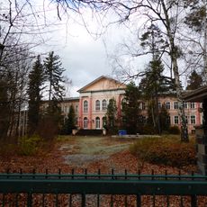
Sanatorium Waldsieversdorf
5.7 km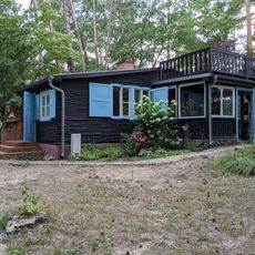
John-Heartfield-Haus Waldsieversdorf
5 km
Alte Mühle
6.7 km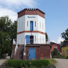
Water Tower Waldsieversdorf
5.6 km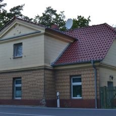
Neubodengrün
5.4 km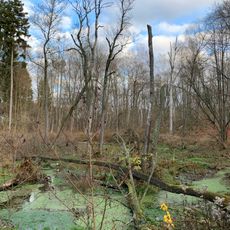
Klobichsee
5.1 km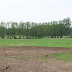
Gumnitz und Großer Schlagenthinsee
2.7 km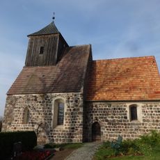
Village church Münchehofe (Müncheberg)
5.4 km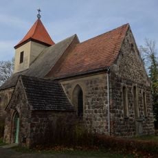
Village church Obersdorf
4.4 km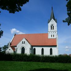
Village church Trebnitz
6.1 km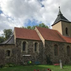
Village church Tempelberg
6.7 km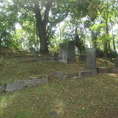
Jüdischer Friedhof
2.5 km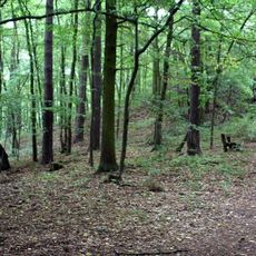
Burgwall Waldsieversdorf
5.2 km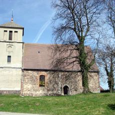
Village church in Eggersdorf
4.2 km
Category:Müncheberger Loose
3.1 km
Müncheberger Siedlung
2.6 km
Waldschänke (Müncheberg)
4.4 km
Gartzsee
6.6 km
Church in Dahmsdorf
3.3 km
Naturpark Märkische Schweiz
6.8 km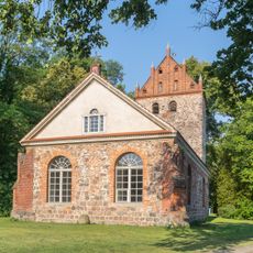
Castle Church
6.2 km
Märkische Schweiz
1.1 km
Märkische Schweiz
6.1 km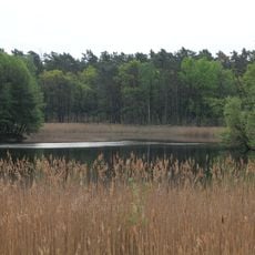
Gumnitz und Großer Schlagenthinsee
3.4 kmReviews
Visited this place? Tap the stars to rate it and share your experience / photos with the community! Try now! You can cancel it anytime.
Discover hidden gems everywhere you go!
From secret cafés to breathtaking viewpoints, skip the crowded tourist spots and find places that match your style. Our app makes it easy with voice search, smart filtering, route optimization, and insider tips from travelers worldwide. Download now for the complete mobile experience.

A unique approach to discovering new places❞
— Le Figaro
All the places worth exploring❞
— France Info
A tailor-made excursion in just a few clicks❞
— 20 Minutes