
Reiersdorf, protected area in the European Union defined by the habitats directive in Brandenburg, Germany
Location: Templin
Inception: 2000
GPS coordinates: 53.04123,13.63297
Latest update: June 20, 2025 10:00
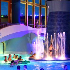
NaturTherme Templin
9.9 km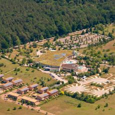
Natur Therme Templin
9.9 km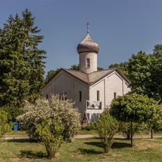
Kloster Götschendorf
6.2 km
Burg Grimnitz
11 km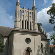
Holy Cross church Joachimsthal
10.2 km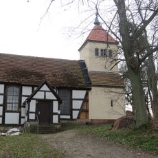
Dorfkirche
10.9 km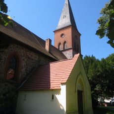
Ringenwalde church
5.9 km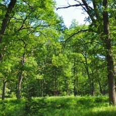
Kienhorst/Köllnseen/Eichheide
10.5 km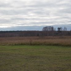
Reiersdorf
86 m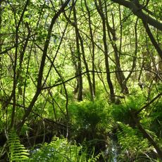
Endmoränenlandschaft bei Ringenwalde
5.6 km
St. Michaeliskirche
5.1 km
Arnimswalde
9.8 km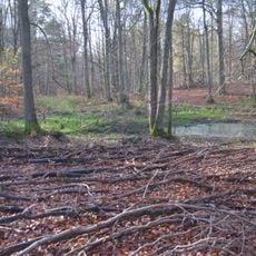
Winkel
3.6 km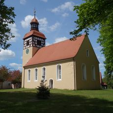
Village church Vietmannsdorf
7 km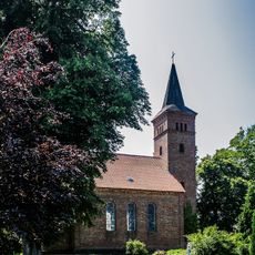
Dorfkirche Parlow
8.8 km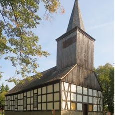
Gollin church
2.1 km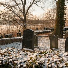
Jüdischer Friedhof
9.9 km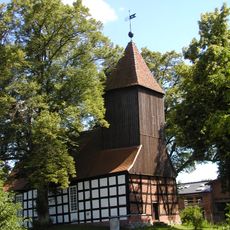
Village church Dargersdorf
5.5 km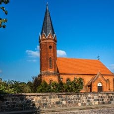
Church in Milmersdorf
7.9 km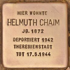
Stolperstein dedicated to Helmuth Chaim
10.2 km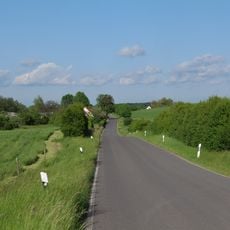
Landschaftsschutzgebiet Biosphärenreservat Schorfheide-Chorin
10.3 km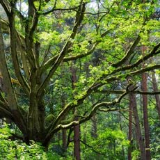
Kienhorst/Köllnseen/Eichheide
10.6 km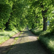
Allee Ringenwalde – Poratz
7.7 km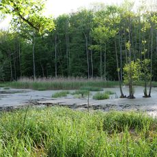
Arnimswalde
10.3 km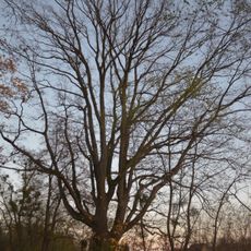
Natural monument English oak on the south side of the cemetery on Zorndorfer Straße
9.7 km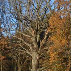
Naturdenkmal Trauben-Eiche 300 m nördlich der Försterei Lindhorst, rechts am Weg in Joachimsthal
5.8 km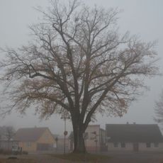
Naturdenkmal Stiel-Eiche Töpferstraße auf einem Straßendreieck in Joachimsthal
10.8 km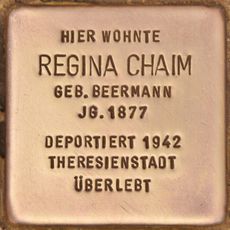
Stolperstein dedicated to Regina Chaim
10.2 kmReviews
Visited this place? Tap the stars to rate it and share your experience / photos with the community! Try now! You can cancel it anytime.
Discover hidden gems everywhere you go!
From secret cafés to breathtaking viewpoints, skip the crowded tourist spots and find places that match your style. Our app makes it easy with voice search, smart filtering, route optimization, and insider tips from travelers worldwide. Download now for the complete mobile experience.

A unique approach to discovering new places❞
— Le Figaro
All the places worth exploring❞
— France Info
A tailor-made excursion in just a few clicks❞
— 20 Minutes