
Schwarzwald zwischen Kenzingen und Waldkirch, protected area in the European Union defined by the habitats directive in Baden-Württemberg, Germany
Location: Emmendingen
Location: Sexau
Location: Freiamt
Location: Teningen
Location: Malterdingen
Location: Kenzingen
Location: Herbolzheim
Inception: 2004
GPS coordinates: 48.15289,7.84178
Latest update: March 26, 2025 13:36
Hochburg
5.9 km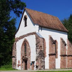
Tennenbach abbey
4.1 km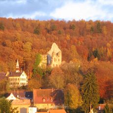
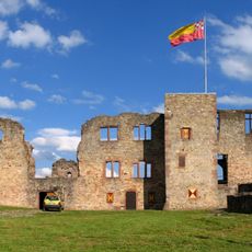
Burg Landeck
412 m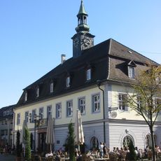
The German Diary Archive
3.7 km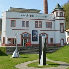
Kunsthalle Messmer
6.6 km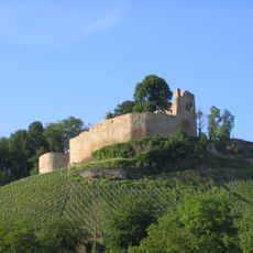
Burg Lichteneck
5.9 km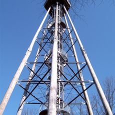
Eichberg Tower
2.8 km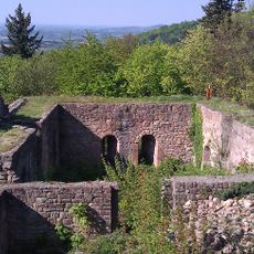
Kirnburg
5.7 km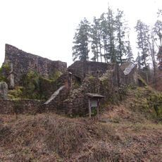
Castle Keppenbach
5.7 km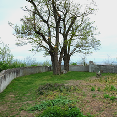
Burg Riegel
6.7 km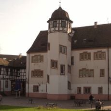
Schloss Emmendingen
4.1 km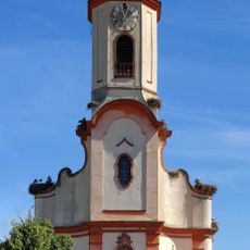
St.-Martin-Kirche
6.8 km
Michaelskapelle (Riegel am Kaiserstuhl)
6.7 km
Weiherschloss Emmendingen
4.3 km
Museum Riegel
6.7 km
Evangelische Stadtkirche
3.6 km
Jewish Museum, Emmendingen
3.5 km
Kenzingen Castle
6.1 km
St. Bonifatius
3.4 km
Kastenbuck Castle
6.1 km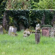
Alter Jüdischer Friedhof
4.2 km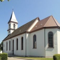
St. Hilarius, Bleichheim
6.2 km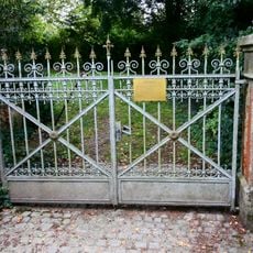
Neuer Jüdischer Friedhof
3.3 km
Skulpturenweg Emmendingen
5.1 km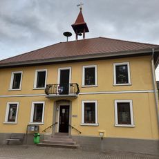
Ortsverwaltung Bleichheim
6.2 km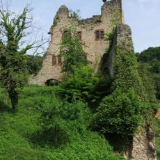
Landeck und Hochburg
4.6 km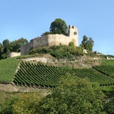
Lichteneck
5.9 km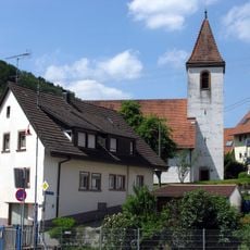
Evangelische Kirche Reichenbach
6.2 kmReviews
Visited this place? Tap the stars to rate it and share your experience / photos with the community! Try now! You can cancel it anytime.
Discover hidden gems everywhere you go!
From secret cafés to breathtaking viewpoints, skip the crowded tourist spots and find places that match your style. Our app makes it easy with voice search, smart filtering, route optimization, and insider tips from travelers worldwide. Download now for the complete mobile experience.

A unique approach to discovering new places❞
— Le Figaro
All the places worth exploring❞
— France Info
A tailor-made excursion in just a few clicks❞
— 20 Minutes