Enable Location

We need your location to show you interesting places around you

Discover nearby places

Find interesting locations and hidden gems around you

Precise directions

Get accurate directions and distances to places

Your location is never shared with other users. It's only used when you tap the location button.

Teningen

Log in to your account

Start exploring — it's free

Trusted by 65,240 travelers worldwide

Continue with Google
Continue with Apple
or

We will send you a code to connect

By continuing, you accept our Terms and Conditions and our Privacy Policy

Check your inbox

We've sent a pincode in your inbox. Please enter the code below.

Teningen
Discussion Reviews 1 Photos
16.2k Popularity

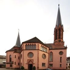
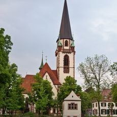
Teningen, municipality in Baden-Württemberg, Germany

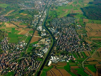
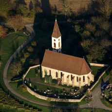
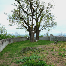
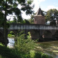
Teningen is a small non-urban municipality in Emmendingen district near the Black Forest, comprising four connected settlements: Heimbach, Koendringen, Nimburg, and the main village. The landscape is shaped by the River Elz, which has created flat areas where farms and residential areas developed.

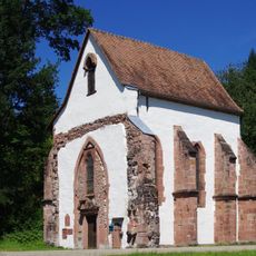
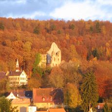
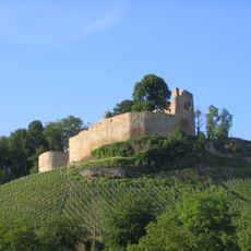
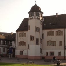
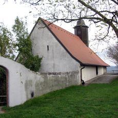
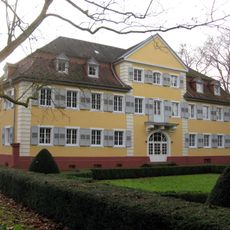
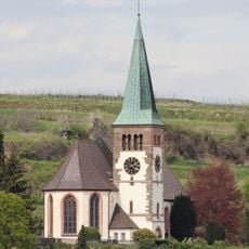
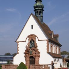
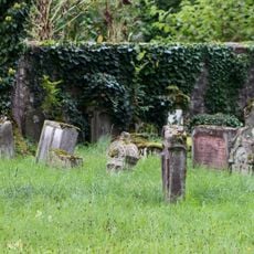
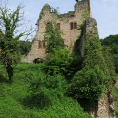
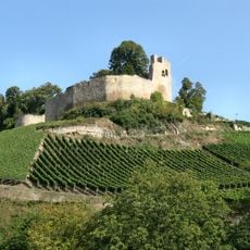
The area has been farmed for centuries, with residents working the sandy and limestone soils to create fields and pastures. Medieval castles such as Burg Landeck from the 13th century and Burg Nimburg from 1052 indicate the region's long historical importance.

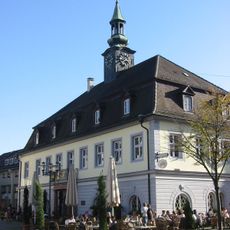
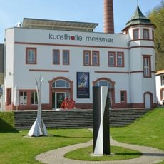
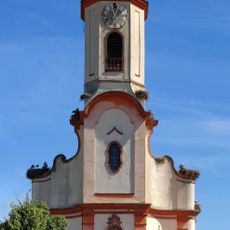
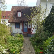
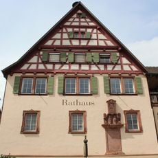
The town comprises four connected villages, each with its own small shops and homes along narrow streets. Residents value a slower pace of life and gather regularly at local markets and seasonal festivals to celebrate traditions and strengthen community bonds.

The village is small enough to explore most places on foot, with marked trails for walking and cycling through forests and fields. Visitors can find guesthouses and hotels for overnight stays, along with casual restaurants serving local food and wine from the nearby Kaiserstuhl region.

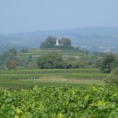
The nearby Kaiserstuhl hills are among Germany's warmest regions and famous for wine production, giving the flatlands around Teningen a mild climate with regular rainfall that shapes the entire landscape. Visitors often overlook how this geographic proximity influences the agriculture and character of the area.

The community of curious travelers

AroundUs brings together thousands of curated places, local tips, and hidden gems, enriched daily by 60,000 contributors worldwide.

Start exploring
Location
Location
Emmendingen VVG
Elevation above the sea
188 m
Shares border with
Emmendingen, Reute
GPS coordinates
48.12694,7.81028
Latest update
February 19, 2026 22:40
Reviews
Share your experience

No review yet

Discussions
Start a discussion...

No discussion yet

« Teningen - municipality in Baden-Württemberg, Germany » is provided by Around Us (aroundus.com). Images and texts are derived from Wikimedia project under a Creative Commons license. You are allowed to copy, distribute, and modify copies of this page, under the conditions set by the license, as long as this note is clearly visible.

Discover hidden gems everywhere you go!

From secret cafés to breathtaking viewpoints, skip the crowded tourist spots and find places that match your style. Our app makes it easy with voice search, smart filtering, route optimization, and insider tips from travelers worldwide. Download now for the complete mobile experience.

Around Us App Screenshot

A unique approach to discovering new places

Le Figaro

All the places worth exploring

France Info

A tailor-made excursion in just a few clicks

20 Minutes

Around Us
Travel Guide & Maps
Download

Send to your phone

QR Code
1

Open the camera app on your mobile.

2

Point at the QR code with your camera. A notification will appear.

3

Tap the notification to open the link.